Navigate the Land of the Gods with precision. Interactive 13-district map visualizer, regional itineraries across Garhwal and Kumaon, Char Dham pilgrimage mileage, and inter-city distance matrices.
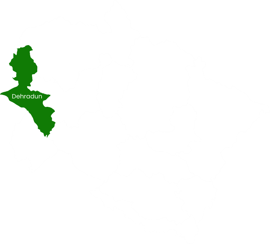
Click on any district to inspect its official cartographic boundary map, key tourist destinations, altitude ranges, and transit connections from Delhi and Dehradun.
Home to the state capital in Doon Valley and the Queen of Hills Mussoorie. Famous for Rajaji National Park, Robber's Cave, Sahastradhara, Forest Research Institute (FRI), and Chakrata Tiger Falls.
Uttarakhand spans 53,483 square kilometers divided between two distinct historical and geographical regions, each with its own dialects, architecture, and folklore.

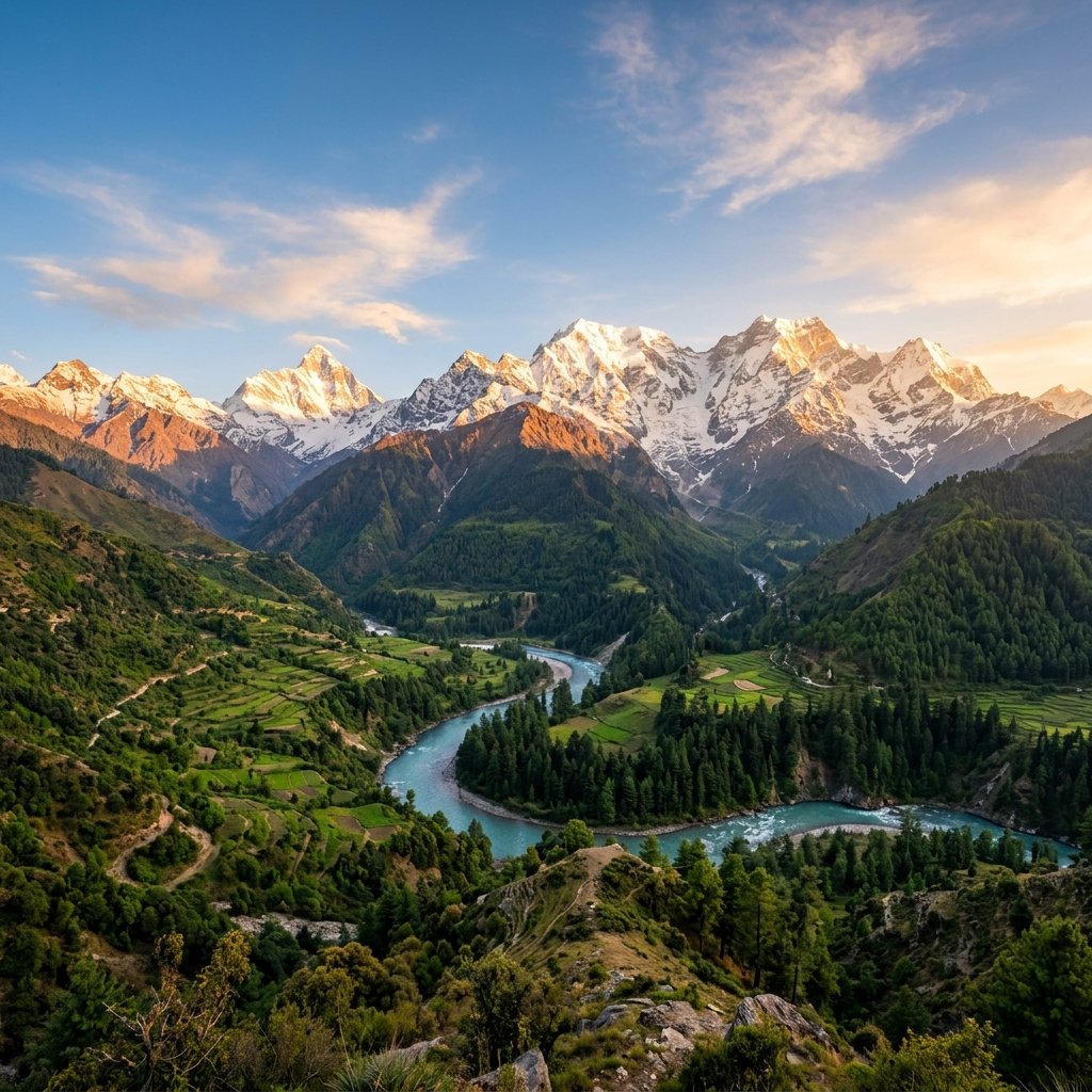
Encompassing Dehradun, Haridwar, Tehri Garhwal, Uttarkashi, Chamoli, Pauri Garhwal, and Rudraprayag. Garhwal is defined by towering vertical peaks (Nanda Devi, Kamet, Chaukhamba), the origin of India’s most sacred rivers (Ganga, Yamuna, Alaknanda, Bhagirathi, Mandakini), and the four shrines of the Char Dham Yatra.

Encompassing Nainital, Almora, Bageshwar, Pithoragarh, Champawat, and Udham Singh Nagar. Kumaon is celebrated for its serene emerald lakes (Nainital, Bhimtal, Naukuchiatal), dense rhododendron and oak forests, fruit orchards, ancient Katyuri stone architecture (Jageshwar, Baijnath), and Jim Corbett National Park.
These road circuit maps link iconic tourist destinations into logical, time-efficient travel sequences.

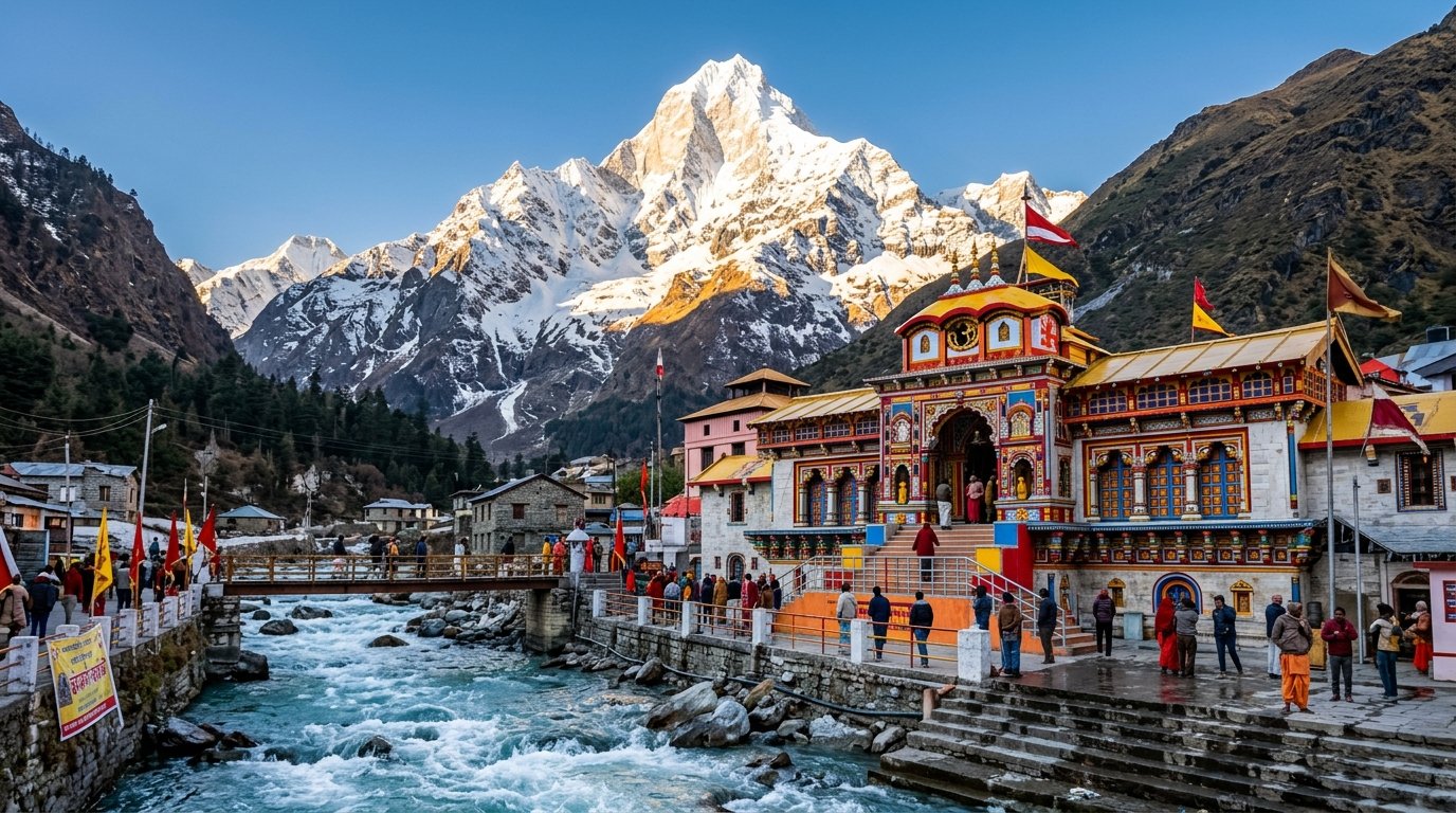
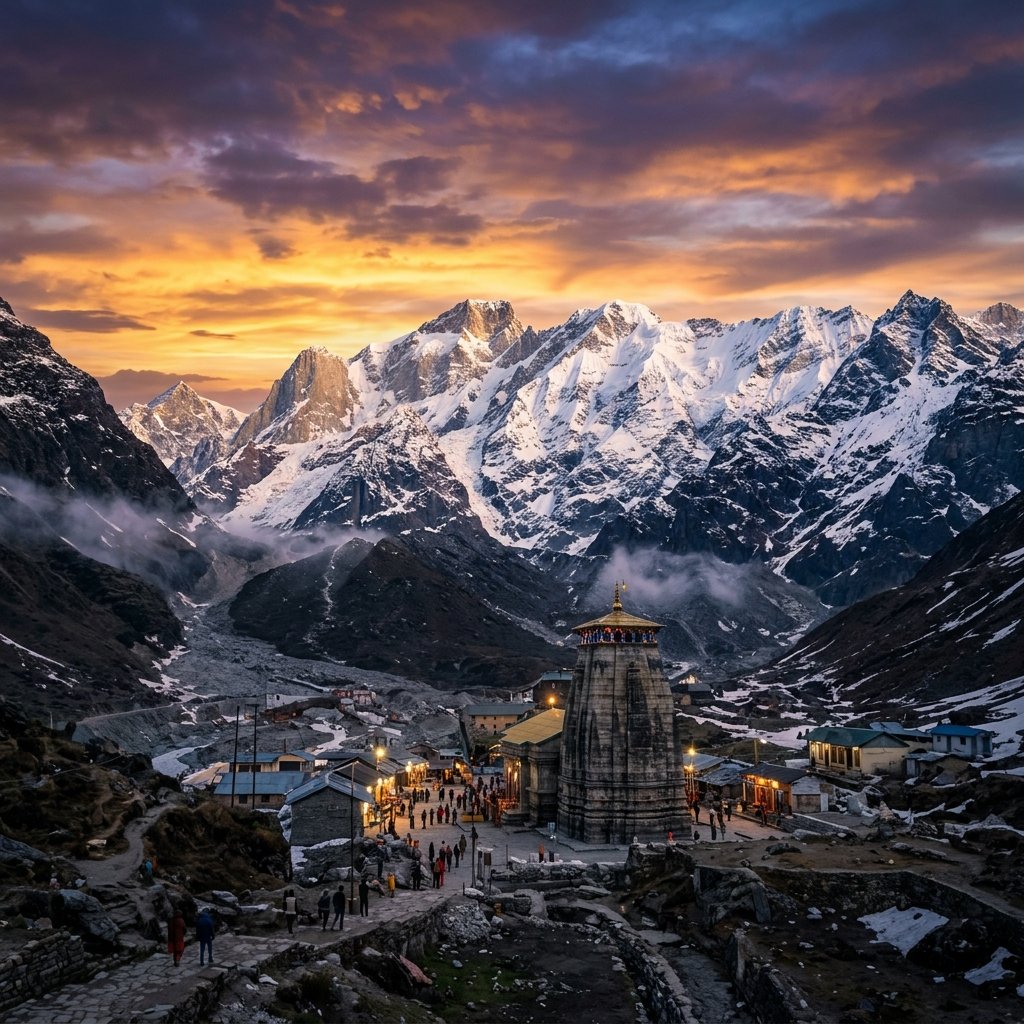
The ultimate Hindu pilgrimage undertaken in traditional clockwise (Parikrama) sequence: beginning at Yamunotri, proceeding to Gangotri and Kedarnath, and culminating at Badrinath.

A leisurely, scenic journey across tranquil high-altitude lakes, 8th-century stone temple clusters in Jageshwar, panoramic views of the Trishul and Nanda Devi peaks from Kausani, and British-era deodar pine cantonments in Ranikhet.

Combining open-jeep tiger safaris in Jim Corbett's Dhikala and Bijrani grasslands with the peaceful pine forest retreats of Lansdowne and Asian elephant tracking in Rajaji Reserve.

The revered Shaivite trail to all five manifestations of Lord Shiva established by the Pandavas across the high meadows of Rudraprayag and Chamoli.
Calculate your driving times across key destinations in Uttarakhand with this comprehensive road mileage table.
| From / To | Delhi | Dehradun | Haridwar | Rishikesh | Nainital | Almora | Joshimath | Badrinath | Kathgodam |
|---|---|---|---|---|---|---|---|---|---|
| Delhi | — | 210 km | 220 km | 242 km | 310 km | 360 km | 495 km | 540 km | 275 km |
| Dehradun | 210 km | — | 54 km | 42 km | 280 km | 335 km | 295 km | 340 km | 265 km |
| Haridwar | 220 km | 54 km | — | 24 km | 235 km | 290 km | 275 km | 320 km | 215 km |
| Rishikesh | 242 km | 42 km | 24 km | — | 255 km | 310 km | 255 km | 300 km | 235 km |
| Nainital | 310 km | 280 km | 235 km | 255 km | — | 64 km | 270 km | 315 km | 34 km |
| Almora | 360 km | 335 km | 290 km | 310 km | 64 km | — | 230 km | 275 km | 88 km |
| Joshimath | 495 km | 295 km | 275 km | 255 km | 270 km | 230 km | — | 45 km | 250 km |
| Badrinath | 540 km | 340 km | 320 km | 300 km | 315 km | 275 km | 45 km | — | 295 km |
| Kathgodam | 275 km | 265 km | 215 km | 235 km | 34 km | 88 km | 250 km | 295 km | — |
Common queries regarding geography, travel routes, border permits, and district circuits.
Chamoli is the largest district in Uttarakhand with an area of 8,030 square kilometers, hosting Mount Nanda Devi and Badrinath Dham. Champawat is the smallest district with an area of approximately 1,766 square kilometers.
Yes! There are two spectacular internal mountain routes connecting Garhwal and Kumaon:
1. Karnaprayag to Gwaldam & Baijnath/Kausani: A breathtaking mountain road linking Chamoli district (Garhwal) directly with Bageshwar district (Kumaon).
2. Kotdwar – Lansdowne – Pauri – Khirsu – Ramnagar: Connecting central Garhwal with Corbett and Nainital.
Uttarakhand shares international borders with two countries:
• China (Tibet Autonomous Region): Borders Uttarkashi, Chamoli, and Pithoragarh districts.
• Nepal: Borders Pithoragarh, Champawat, and Udham Singh Nagar districts along the Kali and Sharda rivers.
The Panch Prayags are five sacred river confluences along the holy Alaknanda River in Garhwal:
1. Vishnuprayag: Confluence of Alaknanda and Dhauliganga (near Joshimath).
2. Nandaprayag: Confluence of Alaknanda and Nandakini.
3. Karnaprayag: Confluence of Alaknanda and Pindar rivers.
4. Rudraprayag: Confluence of Alaknanda and Mandakini rivers.
5. Devprayag: The most sacred confluence where Alaknanda meets Bhagirathi to officially form the holy River Ganga.