Summer
March – June
12°C to 26°C (Pleasant mountain weather, clear morning peak vistas)
Ideal for sightseeing, pilgrimage walks, and exploring forest paths with pleasant daytime sunshine and refreshing mountain air.
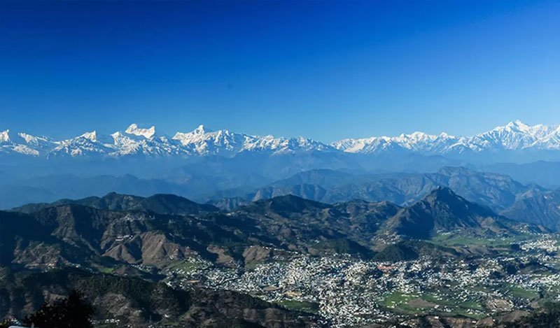
Pristine Ridge Town Facing the Grand Panchachuli Snow Range
Perched like an eagle's nest atop a picturesque mountain ridge at 1,725 meters in eastern Kumaon, Didihat is one of the most spellbinding yet blissfully untouched hill retreats in the Pithoragarh district. Derived from the Kumaoni word 'Dand' (meaning a hilltop or ridge), Didihat overlooks the lush, fertile patchwork of the Charma Valley below while directly confronting the majestic Five Chariots of the Gods — the snow-crowned Panchachuli range.
Historically, Didihat was the fortified mountain capital of King Hari Malla of the Doti Kingdom (western Nepal) before it came under the rule of the Chand dynasty in the 16th century. High above the town on an airy crest stand the stone ruins of Sirakot Fort, built by the Malla kings, which offers an unforgettable 360-degree panoramic vista extending from Trishul in the west to Mount Api and Nampa across the Nepal border.
Surrounded by fragrant deodar, oak, and blooming rhododendron woodlands, Didihat is also the northern gateway to the Askot Musk Deer Wildlife Sanctuary and a favorite offbeat halt for adventurous travelers venturing deeper toward Thal, Birthi Falls, and Munsiyari.
Ideal for sightseeing, pilgrimage walks, and exploring forest paths with pleasant daytime sunshine and refreshing mountain air.
Transforming the hillsides into lush emerald landscapes with cascading mountain streams, blooming wild flora, and misty valley vistas.
Crystal clear panoramic views of snow-capped Himalayan peaks, golden post-monsoon sunsets, and peaceful alpine ambience.
 Medieval Malla Fortress
01
 Ancient Shiva Shrine
02
 Verdant Terraced Valley
03
 High Altitude Bio-Reserve
04
Cascading Waterfall
05
Ascend the stone trail through whispering pine forests to explore ancient fort ramparts and watch the sunrise paint the Panchachuli range golden.
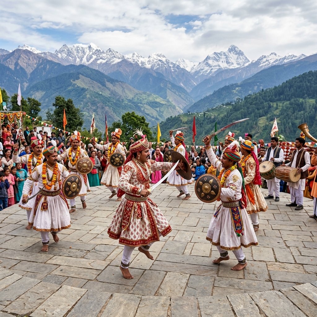
Pay homage at this centuries-old Shiva sanctuary surrounded by prayer flags and ancient bells.
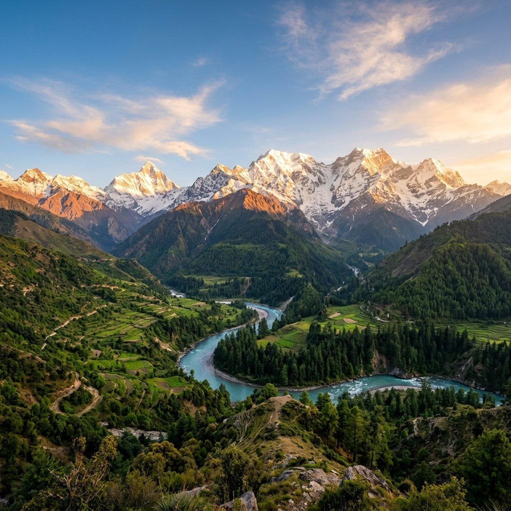
Set up your camera along the ridge at dawn to capture razor-sharp reflections of the five mythical Himalayan peaks.
Walk through terraced paddy fields, talk with warm Kumaoni villagers, and savor fresh local Mandua rotis and pahadi dal.
Best Time to Visit: Didihat is one of the quietest hill stations in Kumaon; perfect for writers, birdwatchers, and solitude seekers.
Altitude & Acclimatization: Pack warm woolen clothes even in autumn as temperatures drop significantly once the sun goes down.
Local Transport: Check road conditions during monsoon months before driving through the high passes toward Munsiyari.
Mobile Connectivity: Basic hotels, KMVN guesthouses, and homestays are available along the main ridge road.
What to Pack: Carry sturdy hiking footwear, warm layered woolens, sunscreen, windproof jackets, and basic personal medications.
Eco & Cultural Respect: Follow Leave No Trace ethics, respect temple traditions and customs, and avoid using single-use plastic bottles.
Essential planning tips, weather details, local highlights, and trip advice for exploring Didihat.
From ancient heritage shrines and whispering cedar forests to dramatic snowpeak horizons and warm mountain hospitality, Didihat offers an indelible Himalayan escape into the tranquil soul of Devbhumi Uttarakhand. Pack light, journey mindfully, and let the mountain serenity restore your spirit.
Start Planning Your Trip →Explore More: Kumaon Travel & Destinations