Situated along the central southern slopes of the Himalayan mountain system in northern India, Uttarakhand occupies a geostrategically vital position. Extending between latitudes 28°43' N and 31°27' N and longitudes 77°34' E and 81°02' E, the state forms a natural geographic bridge between the western Himalayas of Himachal Pradesh and the central Himalayas of Nepal.
With a total land area of 53,483 square kilometers, Uttarakhand spans approximately 358 kilometers from west to east and 320 kilometers from north to south. Below is our complete geographical breakdown, including international border dynamics and a visual cartographic reference.
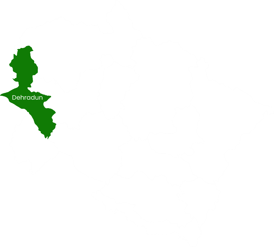
Official Territorial Map of Uttarakhand showing 13 Districts, Divisional Boundaries, and Border Fronts.
1. International & Interstate Frontiers
| Frontier / Border | Bordering Entity | Border Length & Bordering Districts |
|---|---|---|
| Northern Border (International) | Tibet Autonomous Region, China | ~350 km frontier along the Great Himalayan divide. Bordering districts: Uttarkashi, Chamoli, and Pithoragarh. |
| Eastern Border (International) | Nepal | ~275 km demarcated naturally by the roaring Kali (Sharda) river. Bordering districts: Pithoragarh, Champawat, and Udham Singh Nagar. |
| Western & Northwestern Border | Himachal Pradesh | Bordered by the Tons and Yamuna rivers. Bordering districts: Dehradun and Uttarkashi. |
| Southern Border (Interstate) | Uttar Pradesh | Adjoining the plains. Bordering districts: Dehradun, Haridwar, Pauri Garhwal, Nainital, and Udham Singh Nagar. |
| Southwestern Border | Haryana | Narrow boundary touch along the Yamuna in Dehradun district. |
2. Elevation Profile: From 200m Plains to 7,816m Summits
The dramatic physical geography of Uttarakhand is characterized by five distinct morphological belts running roughly northwest to southeast:
- The Tarai-Bhabar Belt (200m – 600m): A low-lying fertile porous gravel zone at the foot of the Shivaliks, rich in tube-wells and agricultural farmlands (Udham Singh Nagar, southern Haridwar).
- The Shivalik Range (Outer Himalaya, 600m – 1,200m): Composed of young tertiary sandstone, gravel, and conglomerates; dissected by longitudinal tectonic valleys known as Doons (such as the Doon Valley of Dehradun).
- The Lesser Himalaya (Middle Himalaya, 1,200m – 3,500m): Mountain ridges cloaked in pine, oak, and rhododendron forests; home to major settlements like Mussoorie, Nainital, Almora, and Ranikhet.
- The Greater Himalaya (Himadri, 3,500m – 7,816m): The zone of perpetual snow, glaciated cirques, and pyramidal granite peaks, culminating at Mt. Nanda Devi (7,816m).
- The Trans-Himalaya (Tethys Belt): Cold rain-shadow alpine valleys north of the main Himalayan range, including the valleys of Mana, Niti, and Byans.
3. Key National Highway Corridors
The state's rugged mountain terrain is linked through strategically vital all-weather highway corridors:
- NH-7: The primary lifeline of Garhwal connecting Rishikesh – Devprayag – Srinagar – Rudraprayag – Karnaprayag – Joshimath – Badrinath – Mana.
- NH-109: The main Kumaon trunk route connecting Rudrapur – Haldwani – Kathgodam – Nainital – Almora – Ranikhet – Karnaprayag.
- NH-34: Connecting Haridwar – Rishikesh – Dharasu – Uttarkashi – Gangotri.
Interactive Map Features
Looking for detailed driving distances, tourist attractions, and district-by-district itineraries? Visit our dedicated Uttarakhand Tourist Map page for comprehensive road travel charts.
Frequently Asked Questions: Map & Location
Uttarakhand shares two international borders: a ~350 km northern border with Tibet (China) and a ~275 km eastern border with Nepal along the Kali River.
Pithoragarh district is the only district in Uttarakhand that shares international borders with both China (Tibet) to the north and Nepal to the east.
Uttarakhand lies between 28°43' N and 31°27' N latitude and 77°34' E and 81°02' E longitude in the northern hemisphere.
Editorial Verification: Cartographic data and geographical coordinates verified from Survey of India (SOI Dehradun) and the Uttarakhand Space Application Centre (USAC).