Dehradun District
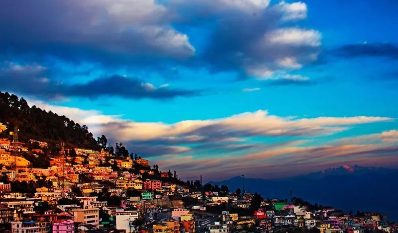
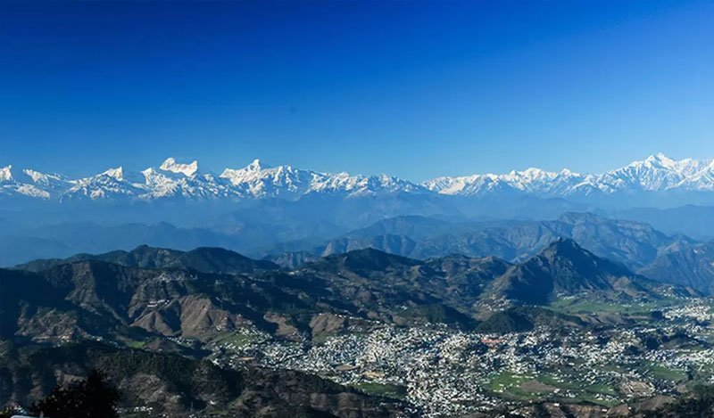
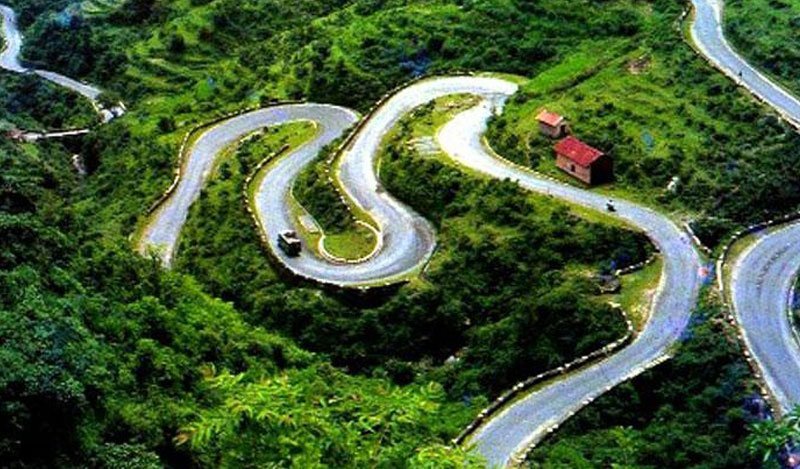
The most populous district and premier administrative center of Uttarakhand, cradled between the Ganga and Yamuna rivers. Encompasses Mussoorie, Rishikesh, and premier national research institutes.
Explore the 13 administrative districts and 2 historic divisions (Garhwal & Kumaon) of Devbhumi Uttarakhand. Official census data, headquarters, tehsils, demographics, elevation profiles, and regional travel highlights.
Uttarakhand is divided into two distinct administrative divisions: Garhwal in the west and central Himalayas, and Kumaon in the east, each governed by a Divisional Commissioner.
Garhwal Division encompasses the sacred heartland of the Char Dham shrines (Badrinath, Kedarnath, Gangotri, Yamunotri), the Panch Prayag confluences, winter capital Dehradun, and summer capital Gairsain.
Kumaon Division is renowned for emerald tectonic lakes, tea gardens, ancient stone Nagara architecture of the Katyuri & Chand dynasties, Jim Corbett National Park, and international Himalayan trade routes to Tibet and Nepal.
Select any district below for in-depth administrative profiles, tehsils directories, official census demographics, geographical maps, and top tourist attractions.
The most populous district and premier administrative center of Uttarakhand, cradled between the Ganga and Yamuna rivers. Encompasses Mussoorie, Rishikesh, and premier national research institutes.
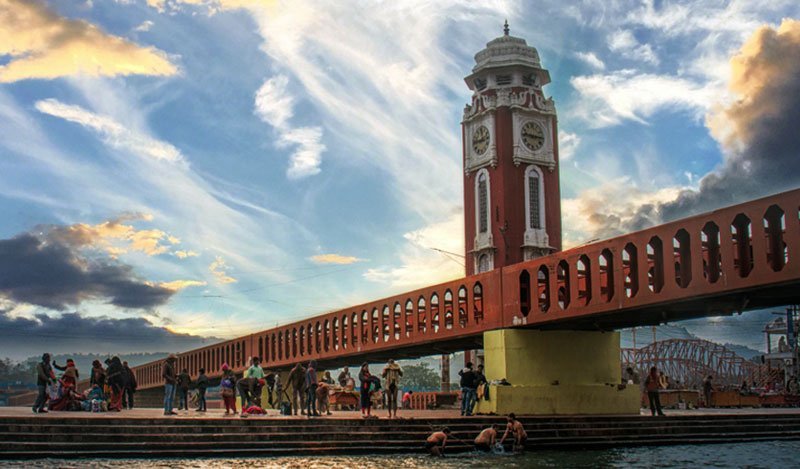
Spiritual gateway where River Ganga enters the plains. Home to Har Ki Pauri, ancient temples, the sacred Maha Kumbh Mela, IIT Roorkee, and the SIDCUL industrial corridor.
Northernmost mountain frontier cradling the glacial headwaters of Ganga (Gaumukh/Gangotri) and Yamuna. A premier mountaineering hub, home to Nehru Institute of Mountaineering and Dayara Bugyal.
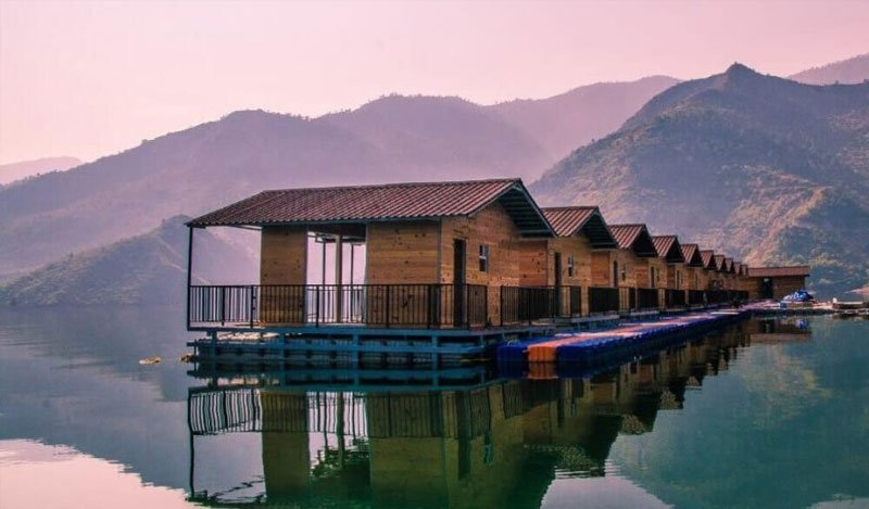
The historic realm of the Tehri Riyasat, home to India's highest rock-fill dam and massive water sports lake, the holy confluence at Devprayag, and Dhanaulti eco-parks.
Administrative headquarters of Garhwal Division. Features sweeping views of Greater Himalayan peaks from Kandoliya, Lansdowne colonial cantonment, and historic Srinagar Garhwal.
Epicenter of Shaivite pilgrimage housing the holy Jyotirlinga of Kedarnath Dham, world's highest Shiva temple Tungnath at Chopta, Madhyamaheshwar, and the sacred Alaknanda-Mandakini confluence.
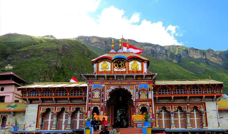
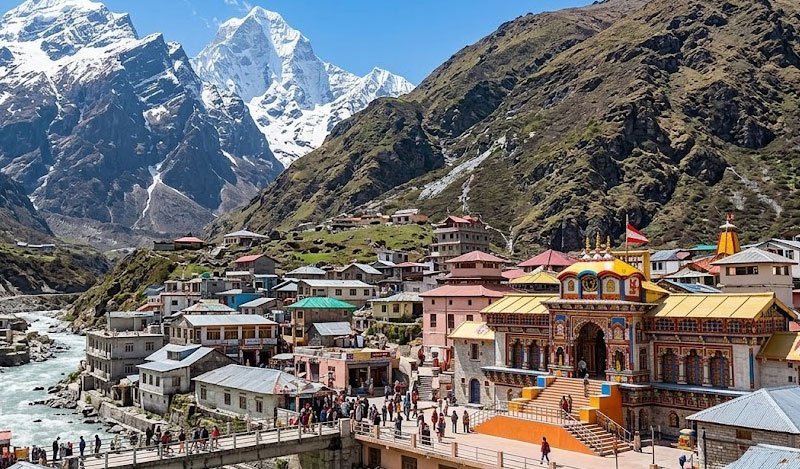
The largest district of Uttarakhand. Shelters Badrinath Dham, UNESCO Valley of Flowers, Hemkund Sahib, Nanda Devi sanctuary, Auli skiing slopes, and the summer capital Gairsain.
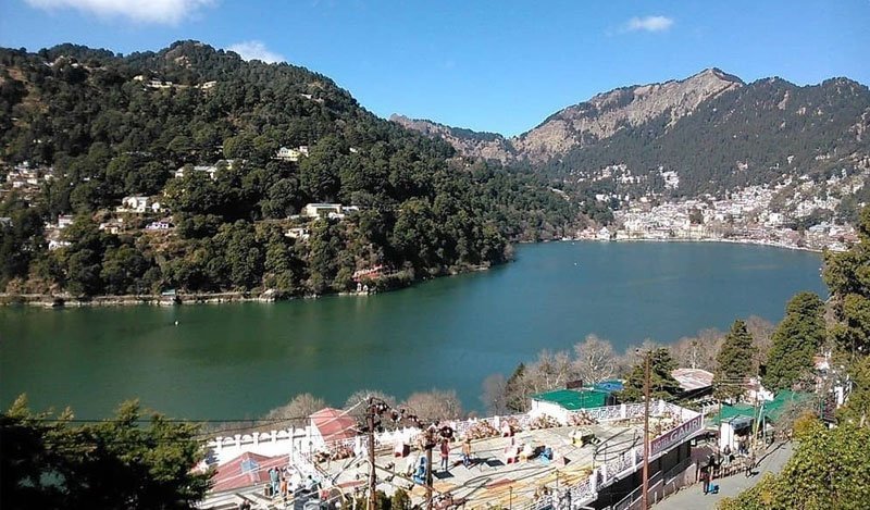
Administrative and judicial center of Kumaon Division. Renowned for Naini Lake, Bhimtal, Naukuchiatal, Jim Corbett National Park, Kainchi Dham Ashram, and the Uttarakhand High Court.
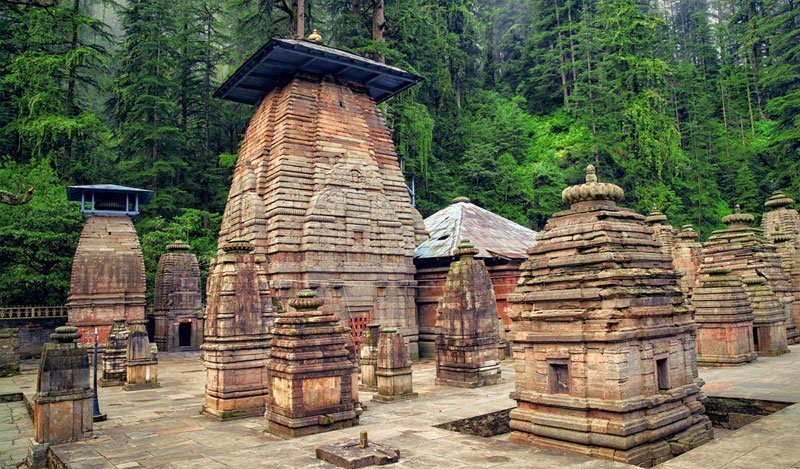
The cultural and artistic heart of Kumaon. Former royal seat of Chand dynasty, famous for Jageshwar Dham cluster of 124 stone temples, Katarmal Sun temple, Kasar Devi, and Binsar forest sanctuary.
Situated at the sacred confluence of Gomti and Sarayu rivers. Home to ancient Bagnath Temple, scenic hill station Kausani, Baijnath Katyuri temples, and gateway to Pindari & Sunderdhunga glaciers.
The easternmost Himalayan sentinel bordering Nepal and Tibet. Renowned for Munsyari's dramatic Panchachuli peaks, Milam Glacier, Askot sanctuary, Patal Bhuvaneshwar caves, and Om Parvat.
The cradle of Kumaon's medieval history. Features the intricately carved 10th-century Baleshwar temple, Abbott Mount hill station, Mayawati Advaita Ashram, Lohaghat, and Maa Purnagiri temple.
The agricultural and industrial powerhouse of Uttarakhand in the fertile Terai plains. Home to India's first agricultural university at Pantnagar, major industrial hub Rudrapur, and Nanakmatta Sahib.
Official government administrative data comparing district headquarters, land area, 2011 Census population, literacy rates, and key regional highlights.
| District Name | Division | Headquarters | Area (km²) | Population (2011) | Literacy (%) | Tehsils | Primary Attractions |
|---|---|---|---|---|---|---|---|
| Dehradun | Garhwal | Dehradun | 3,088 | 1,696,694 | 84.25% | 6 | Mussoorie, Rishikesh, FRI, Robber's Cave |
| Haridwar | Garhwal | Haridwar | 2,360 | 1,890,422 | 73.43% | 4 | Har Ki Pauri, Chandi Devi, Rajaji National Park |
| Uttarkashi | Garhwal | Uttarkashi | 8,016 | 330,086 | 75.81% | 6 | Gangotri, Yamunotri, Gaumukh, Dayara Bugyal |
| Tehri Garhwal | Garhwal | New Tehri | 3,642 | 618,931 | 76.36% | 6 | Tehri Dam, Dhanaulti, Surkanda Devi |
| Pauri Garhwal | Garhwal | Pauri | 5,230 | 687,271 | 82.02% | 9 | Lansdowne, Khirsu, Kandoliya, Srinagar Garhwal |
| Rudraprayag | Garhwal | Rudraprayag | 1,984 | 242,285 | 81.30% | 4 | Kedarnath Dham, Tungnath, Chopta, Deoria Tal |
| Chamoli | Garhwal | Gopeshwar | 8,030 | 391,605 | 82.65% | 8 | Badrinath Dham, Valley of Flowers, Auli, Gairsain |
| Nainital | Kumaon | Nainital | 4,251 | 955,128 | 83.88% | 8 | Naini Lake, Bhimtal, Corbett Park, Kainchi Dham |
| Almora | Kumaon | Almora | 3,144 | 622,506 | 80.47% | 9 | Jageshwar Dham, Katarmal, Kasar Devi, Binsar |
| Bageshwar | Kumaon | Bageshwar | 2,241 | 259,898 | 80.01% | 5 | Bagnath Temple, Kausani, Baijnath, Pindari Glacier |
| Pithoragarh | Kumaon | Pithoragarh | 7,090 | 483,439 | 82.25% | 9 | Munsyari, Panchachuli, Askot, Milam Glacier |
| Champawat | Kumaon | Champawat | 1,766 | 259,648 | 79.83% | 5 | Baleshwar Temple, Abbott Mount, Purnagiri |
| Udham Singh Nagar | Kumaon | Rudrapur | 2,542 | 1,648,367 | 73.10% | 7 | Pantnagar University, Rudrapur SIDCUL, Nanakmatta |
The 13 districts span four distinct altitudinal zones, from sub-tropical river plains to glaciated Himalayan summits over 7,800 meters.
High-altitude border districts housing glaciers and high peaks: Uttarkashi, Chamoli, and Pithoragarh. International borders with Tibet and Nepal.
Terraced agricultural valleys, pine and oak ridges: Tehri, Pauri, Rudraprayag, Almora, Bageshwar, Champawat, and northern Nainital.
Foothill ridges and longitudinal inter-mountain tectonic valleys, primarily encompassing Dehradun District and foothill ranges.
Flat, fertile alluvial plains and industrial belts adjoining Uttar Pradesh: Haridwar District, southern Nainital, and Udham Singh Nagar.