Summer
May – June
2°C – 14°C
Daytime is crisp and sunny with panoramic views of snowbound peaks. Night temperatures drop near freezing. Perfect conditions for navigating Spider Wall and high moraines.
Emerald Glacial Mirror of Shiva · 4,750m High-Altitude Sanctuary
Hidden high in the inner sanctum of the Garhwal Himalayas at a breath-taking altitude of 4,750 metres (15,584 feet), Kedartal—revered as "Shiva's Lake"—is one of the most dramatically situated glacial tarns on earth. Fed by the glacial meltwaters of Mount Thalaysagar (6,904m), Mount Bhrigupanth (6,772m), and the Kedardome, its still emerald-green surface creates an immaculate mirror reflecting colossal vertical granite towers.
Unlike more frequented pilgrim trails, the trek to Kedartal is a true wilderness expedition originating from the sacred shrine town of Gangotri. The trail follows the roaring gorges of the Kedar Ganga, climbing steeply across sheer boulder paths before entering ancient silver birch groves at Bhojkharak, where sacred Bhojpatra bark was harvested centuries ago to record Vedic scriptures.
Beyond the birch woods, hikers traverse the legendary Spider Wall—a narrow, heart-pumping rock ledge perched over the river gorge—before emerging into the expansive rolling alpine pastures of Kedar Kharak. Here, beneath looming moraine walls, herds of Bharal (Himalayan blue sheep) graze undisturbed in high meadows rimmed by glaciated summits.
Standing on the moraine shores of Kedartal at dawn is an almost transcendental encounter. As the first shafts of alpine sunlight illuminate the golden north face of Mount Thalaysagar, the icy pyramid reflects in flawless emerald clarity upon the pristine lake basin, surrounded by silent scree fields and colossal glacial amphitheaters.
Camping near the lake is an unforgettable communion with untamed nature. Under crisp, high-altitude night skies free from any artificial light pollution, the Milky Way arches brightly over the Himalayan crests, while sub-zero mountain winds whisper across lateral moraines and glacial crevices.
For mountaineers, seasoned high-altitude trekkers, and landscape photographers, Kedartal represents the purest face of the Himalayas—a place of monumental silence, raw geological drama, and profound spiritual majesty that leaves an indelible imprint upon the soul.
Daytime is crisp and sunny with panoramic views of snowbound peaks. Night temperatures drop near freezing. Perfect conditions for navigating Spider Wall and high moraines.
Trekking is strictly suspended due to perilous rockfall, landslides along the Kedar Ganga gorges, and swollen glacial meltwater torrents.
The lake and surrounding high passes are completely buried under several metres of snow. Extremely harsh sub-zero temperatures close the route entirely.
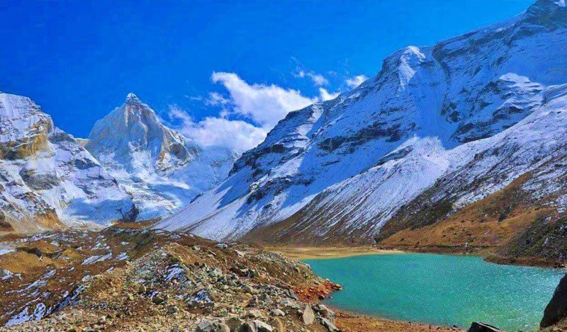 Glacial Tarn · 4,750m
01
 Mountaineering Landmark
02
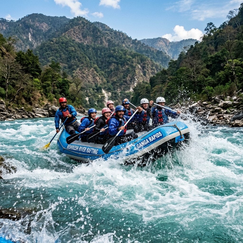 Birch Forest Camp · 3,780m
03
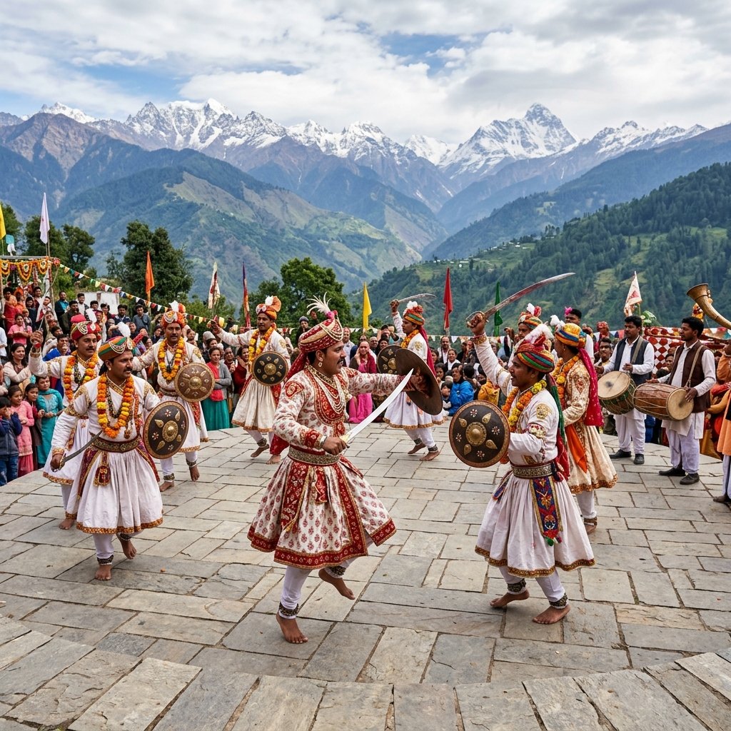 Alpine Bugyal · 4,280m
04
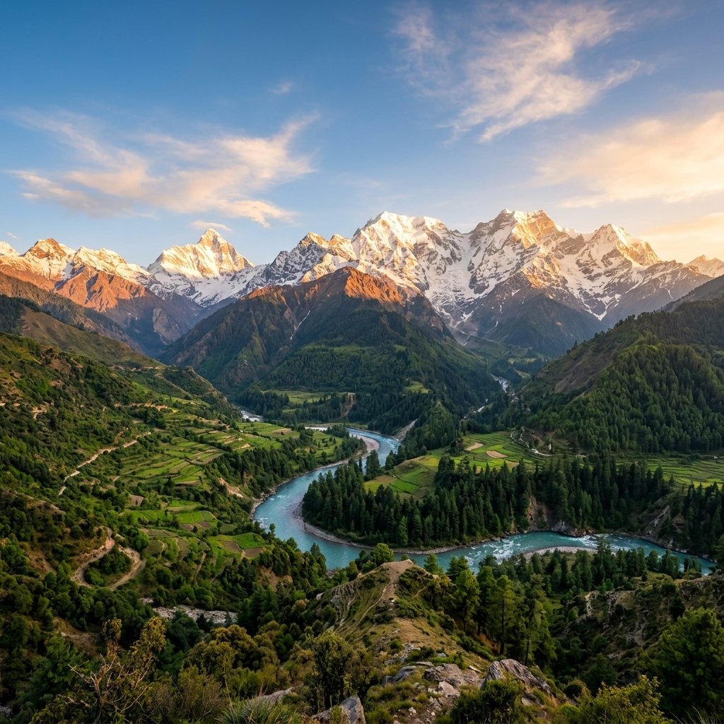 Snow Peak Vista · 6,772m
05
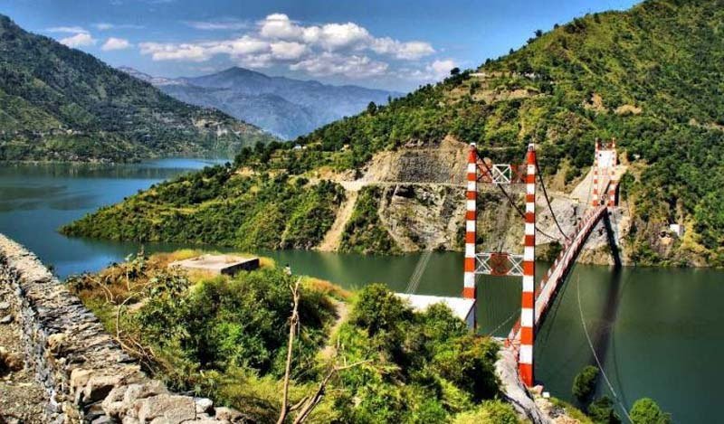 Spiritual Base · 3,100m
06
Tackle the challenging 18-km trail traversing rocky gorges, Spider Wall, and scree moraines.
Camp under billions of glittering stars at Bhojkharak and Kedar Kharak surrounded by towering summits.
Capture the world-famous morning reflection of Mt. Thalaysagar in the undisturbed waters of Kedartal.
Observe herds of Bharal (blue sheep) and high-altitude avifauna across the upper alpine moraines.
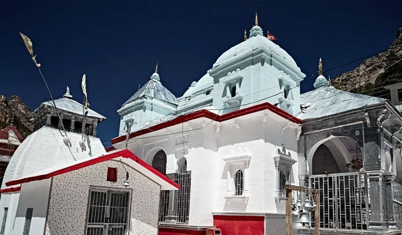 Spiritual
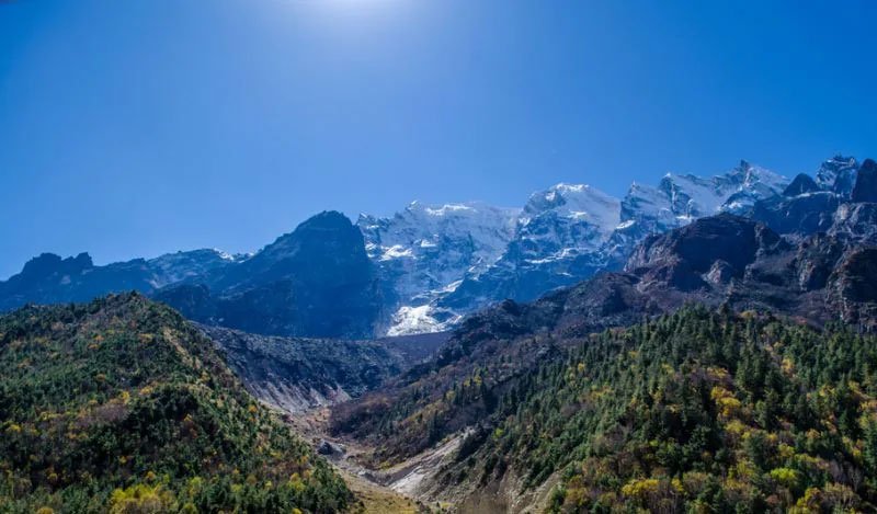 Nature
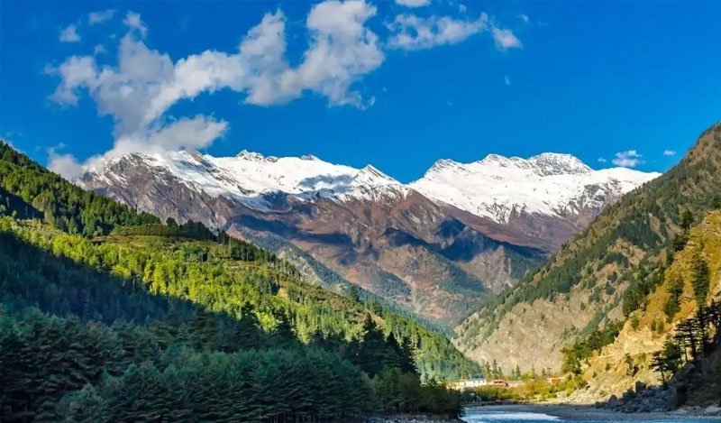 Hills
 Spiritual
Nature
Adventure
Adventure
Adventure
Nature
Nature
 Hills
 Hills
Forest Department Permit Required: Obtain mandatory Gangotri National Park permits at Uttarkashi or Gangotri forest office before setting out.
Prior Acclimatization Essential: Spend at least 1-2 days at Gangotri (3,100m) before attempting the steep ascent to 4,750m to avoid AMS.
Certified Mountain Guide Mandatory: Never attempt Kedartal solo; hire an experienced local certified mountain guide for Spider Wall and scree zones.
Self-Sustained Expedition Equipment: There are no tea stalls or guest houses past Gangotri; carry warm sub-zero sleeping bags, 4-season tents, and rations.
Sturdy Ankle-Support Boots: Moraine fields and jagged boulder paths require rigid trekking shoes with high traction vibram soles.
Strict Leave No Trace Policy: Carry all plastic packaging and waste back to Gangotri to preserve this fragile sacred high-altitude sanctuary.
Everything you need to know about the Kedartal trek: permits, difficulty, best season, and safety.
Kedartal is an alpine sanctuary of unimaginable grandeur where Shiva's emerald tarn mirrors the icy ramparts of Thalaysagar against deep azure skies. For the adventurous traveler seeking pristine silence and the purest face of the Himalayas, standing on the moraine shores of Kedartal is an achievement and a memory that echoes for a lifetime.
Start Planning Your Trip →Explore More: Bhagirathi Glacial Wilderness