Sacred Footprint Boulder & Alpine Meadow

Charan Paduka Boulder

Sacred High Meadow Bearing the Divine Footprint of Lord Vishnu upon Narayan Parbat

Altitude
3,380 m (11,089 ft)
Origin / Era
Ancient Geological Formation / Vedic Era
Distance
3 km Uphill Hike from Badrinath Town
Timings
Sunrise to Sunset (Daylight Hours Recommended)
Home  ›  Destinations  ›  Badrinath  ›  Attractions  ›  Charan Paduka Boulder
3,380m
Meadow Altitude
3 km
Trail Distance
250m
Elevation Gain
Comprehensive Guide

The first sacred rock slab on Earth touched by Lord Vishnu as He descended from Vaikuntha

Perched at a magnificent altitude of 3,380 metres on the western slopes of Mount Narayan Parbat, Charan Paduka is a tranquil high-altitude alpine meadow that houses one of the most cherished sacred relics in the Garhwal Himalayas. The centerpiece of this meadow is a polished natural rock boulder bearing two distinct, palm-sized indentations deeply revered by devotees as the authentic footprints (Charan Paduka) of Lord Vishnu, imprinted when He first descended from Vaikuntha to the earthly plane of Badrikashram.

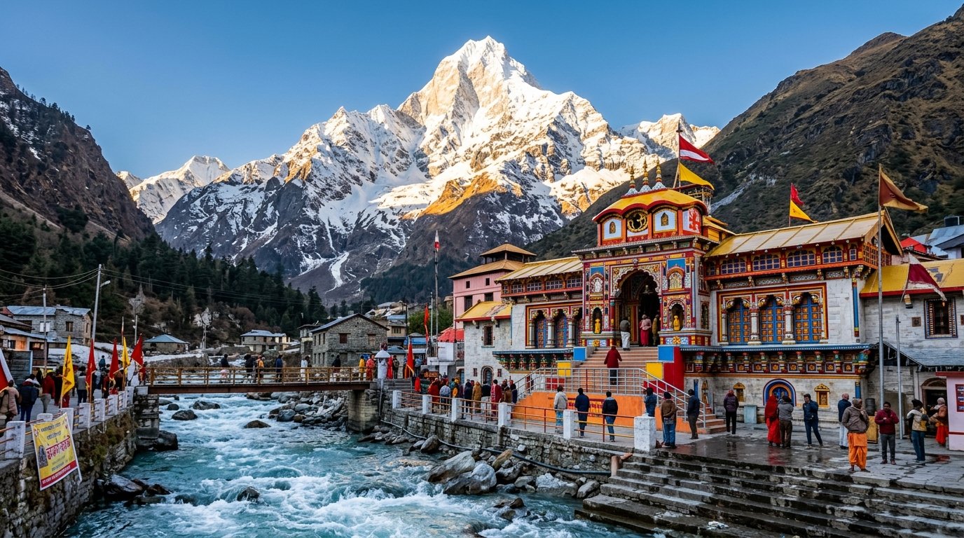
The 3-kilometre uphill trail commences from the western flank of Badrinath town, climbing steadily past the Rishi Ganga waterfall gorge. The ascent leads hikers through fragrant dwarf junipers, blooming rhododendron shrubs, and wide carpets of wild Himalayan Edelweiss and buttercups. As you gain elevation, the bustling pilgrim township of Badrinath shrinks below, revealing an astounding bird’s-eye perspective of the entire valley flanked by the twin sentinels of Nar and Narayan peaks.

Upon reaching the grassy meadow, pilgrims find the sacred footprint rock reverently sheltered beneath a small brass-roofed canopy draped in marigold garlands and vermilion. Devotees touch their foreheads to the impressions, offering butter, holy basil leaves (tulsi), and coins. Beyond its profound spiritual sanctity, Charan Paduka serves as an idyllic day trek for nature enthusiasts, providing front-row panoramas of the snow-crested pyramid of Mount Neelkanth and the roaring Rishi Ganga river.

Key Highlights & Features

Divine Footprints of Lord Vishnu
A sacred rock boulder preserving distinct foot impressions blessed by Bhagwan Vishnu upon descending to Earth.
Spectacular Neelkanth Panorama
Unobstructed direct line of sight to the towering 6,596m pyramidal summit of Mount Neelkanth bathed in golden light.
Blooming Alpine Bugyal Meadow
In summer and autumn, the undulating green turf is blanketed with hundreds of colorful wildflowers and herbs.
Rishi Ganga Gorge Views
Follows the dramatic cliff-edge overlooking the churning rapids and cascades of the sacred Rishi Ganga torrent.

Top Things to Do & Experiences

01

Hike the 3 km Scenic Trail

Climb the well-worn stone path winding up Narayan Parbat, experiencing fresh pine air and panoramic valley vistas.

02

Offer Tulsi at the Footprint Shrine

Pay homage at the divine stone slab with sacred tulsi leaves, chandan (sandalwood paste), and silent prayer.

03

High-Altitude Valley Photography

Capture wide-angle aerial landscape shots of Badrinath Temple, the Alaknanda gorge, and the Nar Parbat ridgelines.

04

Picnic in Alpine Meadows

Relax on the lush green meadows around the shrine, enjoying the profound silence far removed from pilgrimage crowds.
Transit & Connectivity

How to Reach Charan Paduka Boulder

Accessible through scenic Garhwal highways connecting Rishikesh, Devprayag, Rudraprayag, and Joshimath along the national highway network.

By Air (Flight / Helicopter)

Jolly Grant Airport, Dehradun is 314 km away via NH-7 to Badrinath.

By Railway

Rishikesh railway station is 295 km away. Taxis and buses ply daily to Badrinath.

By Road & Trail

The walking trail begins directly behind the Badrinath Temple or near the government hospital on the western side of the town.

Key Distances from Base

Badrinath Temple Base 3 km hike
Rishi Ganga Falls 1.2 km hike
Mana Village 4.5 km
Joshimath 46 km
Rishikesh 295 km
Haridwar 318 km
Pilgrim Essentials

Essential Tips for Visiting

Morning Trek Recommended

Start the climb between 7:00 AM and 8:30 AM to avoid midday mountain sun and enjoy crystal-clear peak reflections.

Carry Trekking Stick & Water

The continuous uphill ascent gains roughly 250 vertical metres; carry a walking stick and at least one litre of drinking water.

Warm Windcheater Layer

The open meadow at 3,380m can be intensely breezy; pack a lightweight windbreaker jacket in your daypack.

Moderate Physical Fitness

The hike takes 1.5 hours uphill and 1 hour downhill; suitable for beginner hikers and reasonably fit pilgrims.

Frequently Asked Questions

Frequently Asked Questions

Common questions regarding darshan, routes, high-altitude logistics, and seasonal preparation.

The 3 km uphill hike takes approximately 1.5 to 2 hours for average walkers, and around 1 hour to descend back into Badrinath.
Yes, the trail is well-trodden and clearly visible. On sunny days during the yatra season, fellow pilgrims and sadhus are frequently met on the path.
Senior citizens who are physically active can complete the hike with frequent rests and a walking pole. Those with severe asthma or knee pain should avoid it.
May, June, September, and October offer the best hiking conditions with clear blue skies, blooming meadows, and dry trails.