Summer
April – June
16°C – 32°C
Warm valley weather with brisk mountain evening air. The premier window for embarking on the Adi Kailash, Om Parvat, and Darma Valley expeditions.
Himalayan Border Crossroad & Gateway to Kailash · Pithoragarh
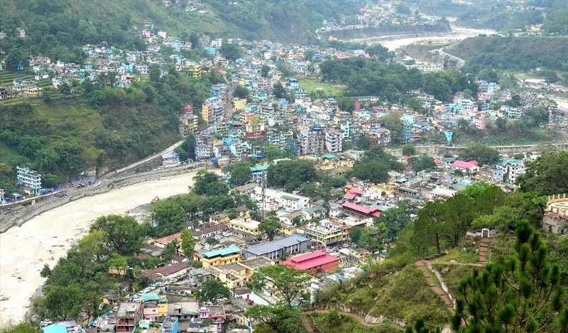
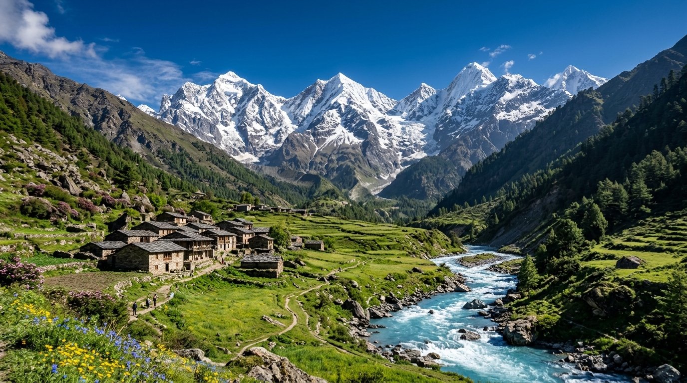
Nestled deep inside the dramatic gorge of the roaring Kali River at an elevation of 915 metres in the extreme northeastern corner of Pithoragarh district, Dharchula is one of the most fascinating border crossroads in the Himalayas. Flanked by towering emerald mountain ramparts, Dharchula sits right on the international frontier separating India and Nepal.
The defining feature of Dharchula is its unique twin identity. Across the swirling green currents of the Kali River lies its sister town of Darchula (Nepal). The two sovereign nations are connected by historic pedestrian suspension footbridges, where citizens and visitors stroll freely without visas or passports, fostering centuries of seamless cultural and trade kinship.
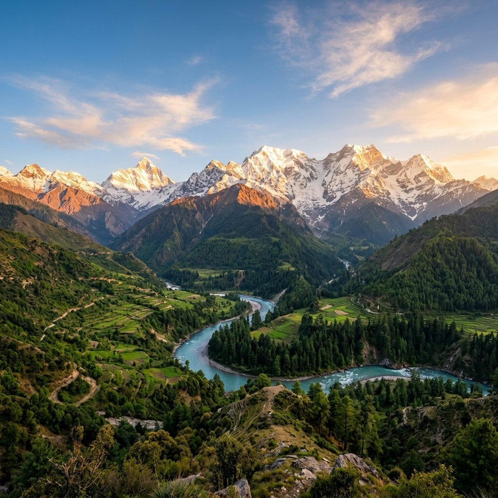
Dharchula is globally revered as the essential launchpad for the sacred Adi Kailash and Om Parvat Yatra. Adi Kailash (5,945m), often called Chhota Kailash, closely mirrors the divine form of Mount Kailash in Tibet, complete with the sacred Parvati Sarovar at its foot. Nearby Om Parvat displays the miraculous natural snow deposit naturally forming the sacred symbol "ॐ".
The town is also the cultural nucleus of the indigenous Rung (Bhotia) community. Renowned historically for their trans-Himalayan trade expeditions across Tibetan passes with wool, salt, and borax, the Rung people maintain rich weaving traditions, producing exquisite hand-knotted Dan carpets, pashmina shawls, and vibrant folk music.
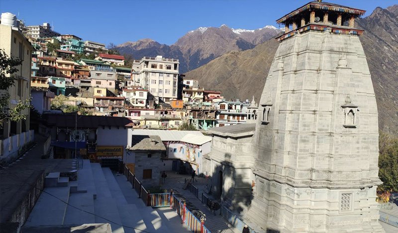
Just 44 km uphill from Dharchula, nestled amidst pristine deodar and rhododendron woods at 2,734 metres, lies Narayan Ashram. Established in 1936 by Sri Narayan Swami, this spiritual hermitage provides a tranquil sanctuary of meditation, yoga, and social service.
With modern border highways cutting travel times and opening up the mystical Darma Valley, Vyas Valley, and Chaudas Valley, Dharchula has evolved into the ultimate adventure gateway of the Kumaon Himalayas.
Warm valley weather with brisk mountain evening air. The premier window for embarking on the Adi Kailash, Om Parvat, and Darma Valley expeditions.
Heavy rainfall revitalizes waterfalls along the Kali canyon. The river turns into a raging brown torrent; mountain roads may face intermittent landslide closures.
Pleasant sunny days in the valley with cold nights. Higher surrounding peaks are heavily blanketed in snow, creating a stunning visual contrast.
 Border Landmark
01
 Spiritual Hermitage
02
 Natural Wonder
03
 Sacred Pilgrimage
04
 Engineering Marvel
05
 Tribal Heritage
06
Stroll across the swaying suspension footbridge over the churning Kali River to visit Darchula town in Nepal and explore its unique markets.
Travel to 2,734m to meditate in the tranquil pine-scented courtyards of Narayan Ashram and admire views into western Nepal peaks.
Browse the vibrant Rung artisan markets for hand-knotted Tibetan woolen rugs, pure pashmina shawls, and organic hill pulses.
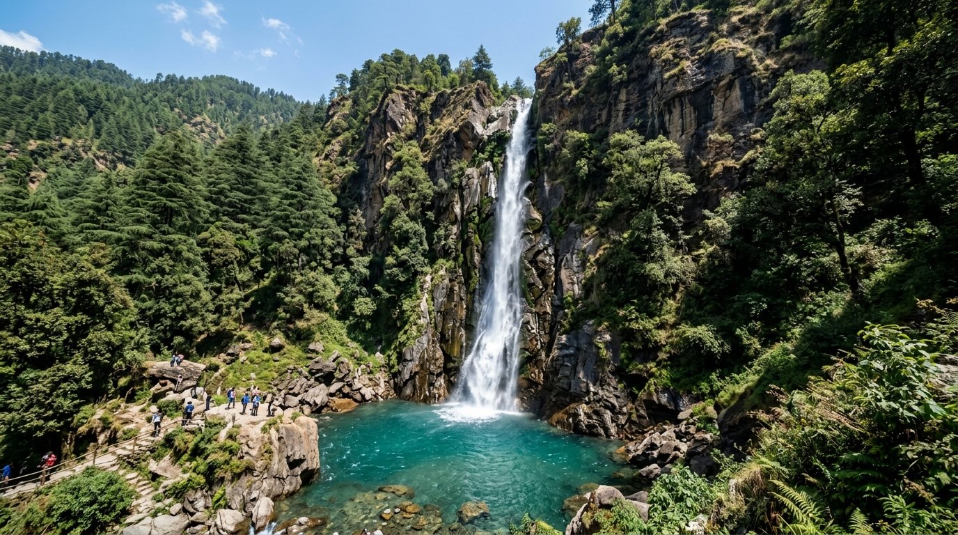
Board high-clearance 4x4 vehicles to navigate the dramatic Dhauliganga canyon up to the five icy spires of Panchachuli Base Camp.
Adventure
Spiritual
Adventure
Adventure
 Nature
Heritage
Spiritual
 Nature
 Spiritual
Adventure
Nature
Heritage
Inner Line Permit (ILP) for Border Treks: Traveling beyond Dharchula toward Darma Valley, Vyas Valley, or Adi Kailash requires an Inner Line Permit issued by the SDM Office in Dharchula or online via Pithoragarh portal.
Crossing the Nepal Suspension Bridge: Indian citizens can walk across the bridge into Darchula (Nepal) during daylight hours. Carry a valid government photo ID (Aadhaar or Voter ID) for routine border inspection.
Border Gate Timings: The international pedestrian border gates between India and Nepal generally open around 6:00 AM and close at 7:00 PM. Plan your return crossing accordingly.
ATM & Fuel Availability: Dharchula has multiple working bank ATMs and fuel stations. It is the last major hub to withdraw cash and top up vehicle fuel before entering Darma or Vyas valleys.
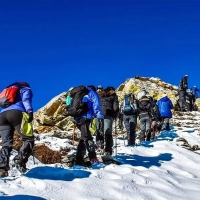
Acclimatize Before High Passes: Dharchula is at 915m. If proceeding to Adi Kailash or Darma Valley (over 3,500m), spend a night in Dharchula to rest and acclimatize before ascending.
Support Local Rung Artisans: Purchase genuine handloom products such as sheep wool carpets (Dan), pashmina shawls, and pure beeswax honey directly from local Rung self-help groups.
Everything you need to know about Dharchula: the Nepal border crossing, Adi Kailash permits, and stays.
Dharchula is a Himalayan crossroad where nations shake hands across a rushing river and sacred pathways to the heavens begin. From the rhythmic sway of the Indo-Nepal bridge to the ancient traditions of the Rung people, Dharchula invites the intrepid traveler into the untamed grandeur of the eastern Himalayas.
Start Planning Your Trip →Explore More: Borderlands & Eastern Kumaon