Devbhumi Crown

Mountains of Uttarakhand – Overview

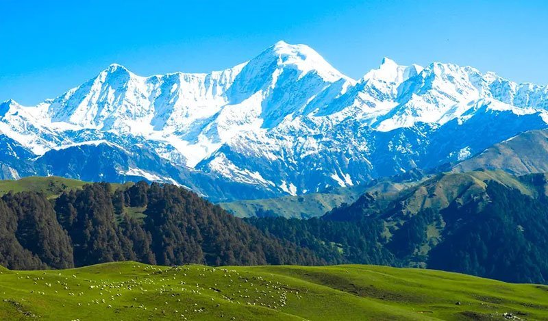
Explore the majestic mountains and Himalayan peaks of Uttarakhand. From Nanda Devi (7,816m) and Kamet to sacred Neelkanth, glaciers, high-altitude passes, and alpine bugyals.

7,816 m
Highest Peak (Nanda Devi)
16+
Massive 6,500m+ Giants
900+
Perennial Glaciers
4 Ranges
Shivalik to Zanskar

Explore Uttarakhand’s Himalayan Crown

In-depth dedicated profiles of legendary 7,000-meter summits, holy glacial river cradles, ancient pass trade routes, and pastoral alpine pastures.

Himalayan Ranges of Uttarakhand Physiographic Architecture

Himalayan Ranges of Uttarakhand

Physiographic Belts: 4 Tiers Highest Elevation: 7,816 m

Discover the four distinct Himalayan physiographic zones of Uttarakhand: the Outer Shivalik Hills, the Lesser Himalayan Ridge, the High Greater Himalayas (Himadri), and the Trans-Himalayan Zanskar Range.

Explore Full Guide
Nanda Devi Bliss-Giving Goddess Peak

Nanda Devi

Peak Elevation: 7,816 m (25,643 ft) India Rank: 2nd (1st entirely in India)

Complete guide to Mount Nanda Devi (7,816m), the highest peak situated entirely within India. Explore its twin summits, the impenetrable Nanda Devi Sanctuary, mythology, and mountaineering history.

Explore Full Guide
Kamet Zanskar Colossus

Kamet

Elevation: 7,756 m (25,446 ft) Uttarakhand Rank: 2nd Highest

Discover Mount Kamet (7,756m / 25,446 ft), Uttarakhand's second-highest summit located near the Tibetan border in Chamoli district. Learn about its massive pyramid geometry and Frank Smythe's 1931 ascent.

Explore Full Guide
Trishul Shiva's Sacred Trident

Trishul

Elevation: 7,120 m (23,360 ft) Peaks Count: 3 Trident Summits

Explore Mount Trishul (7,120m / 23,360 ft) in Chamoli district. Iconic three-pronged trident massif guarding the Nanda Devi Sanctuary, overlooking mysterious Roopkund Lake and the Pindar Valley.

Explore Full Guide
Chaukhamba Four Pillars of Heaven

Chaukhamba

Main Elevation: 7,138 m (23,419 ft) Massif Pillars: 4 Distinct Peaks

Guide to Mount Chaukhamba (7,138m), the massive four-peaked massif of the Gangotri Group. Explore its four colossal pillars, Bhagirathi and Mandakini glacial origins, and sacred Kedarnath vistas.

Explore Full Guide
Panchachuli Peaks Five Hearths of the Pandavas

Panchachuli Peaks

Highest Peak (II): 6,904 m (22,651 ft) Peak Group: 5 Spire Peaks (I to V)

Explore the iconic Panchachuli Peaks (6,904m) in eastern Kumaon’s Pithoragarh district. Discover the mythology of the Pandavas’ final meal, Darma and Gori Ganga valleys, and Munsiyari viewpoints.

Explore Full Guide
Neelkanth Queen of Garhwal

Neelkanth

Elevation: 6,596 m (21,640 ft) Title: Garhwal Queen Peak

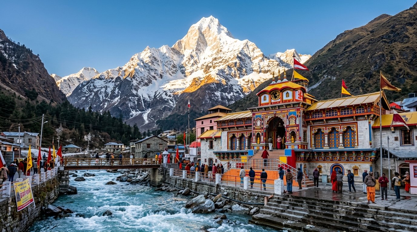
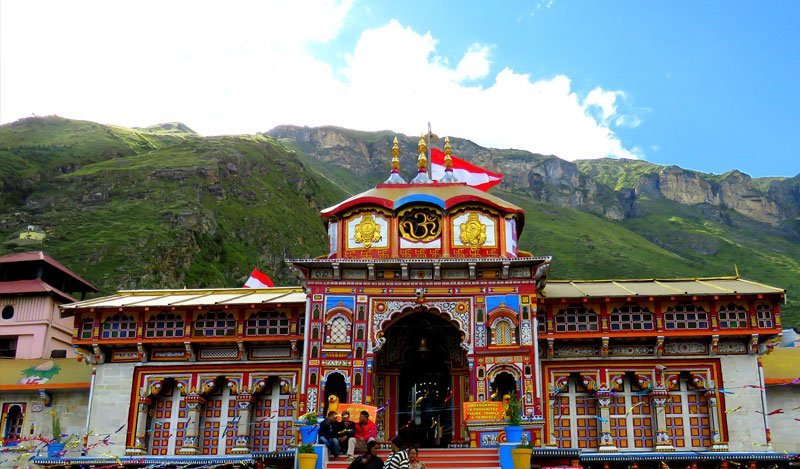
Discover Mount Neelkanth (6,596m / 21,640 ft), the magnificent single-pyramid peak soaring directly above Badrinath Dham. Explore its spiritual lore, technical climbing challenges, and viewing spots.

Explore Full Guide
Mountain Passes High-Altitude Gateways

Mountain Passes

Highest Motor / Pass: Mana Pass (5,608 m) Border Corridors: Tibet / Nepal / HP

Explore the high-altitude mountain passes (Khals) of Uttarakhand: Mana Pass, Niti Pass, Lipulekh, Kalindi Khal, Kuari Pass, Rupin Pass, and Traill’s Pass connecting valleys and historic trade routes.

Explore Full Guide
Glaciers of Uttarakhand Water Towers of India

Glaciers of Uttarakhand

Largest Glacier: Gangotri (30 km long) Total Glaciers: 900+ Mapped

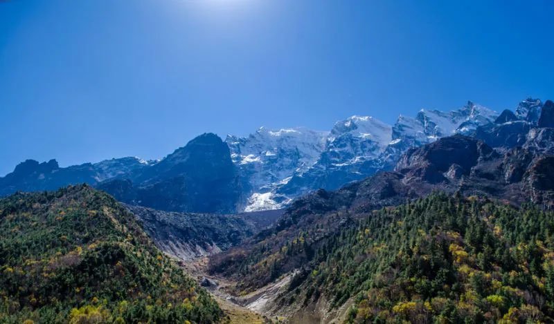
Complete guide to the major glaciers of Uttarakhand: Gangotri, Pindari, Milam, Satopanth, Khatling, and Dokriani. Discover their role as the water towers of India and premier glacial trek routes.

Explore Full Guide
Bugyals – Himalayan Alpine Meadows Himalayan Velvet Carpets

Bugyals – Himalayan Alpine Meadows

Elevation Zone: 3,000m – 4,200m Vegetation Type: Alpine Tundra & Herbs

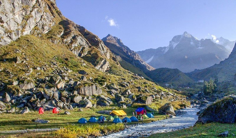
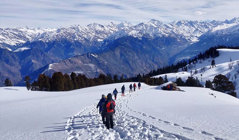
Explore the breathtaking Bugyals (alpine meadows) of Uttarakhand: Dayara, Bedni, Ali, Gorson, Tungnath, and Panwali Kantha. Nature's carpet of green pastures, seasonal wildflowers, and camping paradises.

Explore Full Guide
Mountaineering and Expeditions Cradle of Indian Alpinism

Mountaineering and Expeditions

Apex Institute: NIM Uttarkashi (Est. 1965) Governing Body: Indian Mountaineering Foundation

Comprehensive guide to mountaineering and alpine expeditions in Uttarakhand. Learn about the Nehru Institute of Mountaineering (NIM), open climbing peaks, IMF permits, and legendary climbing sagas.

Explore Full Guide
Mountain Geography and Geology Geological Tapestry

Mountain Geography and Geology

Orogeny Age: 50 Million Years Tectonic Collision: Indian vs. Eurasian Plate

Explore the geology, tectonic evolution, and geography of the Uttarakhand Himalayas. Understand the Main Central Thrust (MCT), Continental Drift, seismic zones, and river gorge formations.

Explore Full Guide

Major Mountain Summits Elevation Matrix

Key statistics of prominent peaks in the Garhwal and Kumaon Himalayas of Uttarakhand.

Summit Name Elevation (m / ft) Himalayan Division District First Human Ascent Key Significance
Nanda Devi 7,816 m / 25,643 ft Garhwal / Kumaon Divide Chamoli / Pithoragarh 1936 (Tilman & Odell) Highest peak entirely within India; Sacred Goddess Sanctuary
Kamet 7,756 m / 25,446 ft Zanskar / Trans-Himalaya Chamoli 1931 (Frank Smythe team) 2nd highest in Uttarakhand; Valley of Flowers discovery expedition
Chaukhamba I 7,138 m / 23,419 ft Gangotri Group Chamoli / Rudraprayag 1952 (French Expedition) Four-pillared giant; Feeds Gangotri & Mandakini Glaciers
Trishul I 7,120 m / 23,360 ft Nanda Devi Ring Chamoli 1907 (Dr. Tom Longstaff) 1st 7,000m peak climbed in history; Overlooks Roopkund
Panchachuli II 6,904 m / 22,651 ft Kumaon Himalayas Pithoragarh 1973 (ITBP Expedition) Five legendary hearths of the Pandavas; Gori Ganga basin
Neelkanth 6,596 m / 21,640 ft Alaknanda Basin Chamoli 1961 (Indian Army / Col. Kumar) Queen of Garhwal; Pyramidal guardian of Badrinath Dham