Water Towers of the Subcontinent

Rivers and Water Bodies – Overview

Explore the lifelines of India in Devbhumi Uttarakhand. From the sacred origins of Ganga and Yamuna to high-altitude glacial tarns, emerald lakes of Kumaon, roaring cascades, and the massive Tehri Dam.

Ganga & Yamuna
Twin Sacred Origins
Panch Prayag
5 Divine Confluences
260.5 m
Tehri Dam (Asia's #1)
1st Ramsar
Asan Wetland Reserve

Perennial Rivers, Glacial Tarns & Thundering Falls

Explore 13 comprehensive guides covering Uttarakhand’s life-giving river networks, sacred confluence prayags, crystal-clear Himalayan lakes, and colossal hydroelectric engineering.

Ganga River in Uttarakhand Mother River of India

Ganga River in Uttarakhand

Devprayag to Haridwar • 250+ km in State

Formed at Devprayag by the divine union of Bhagirathi and Alaknanda, rushing through Rishikesh and Haridwar onto the northern plains.

Explore Full Guide
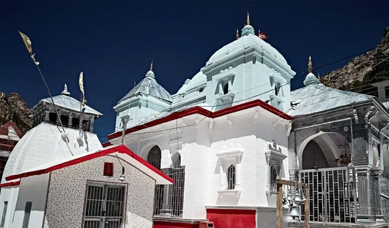
Yamuna River Daughter of the Sun God

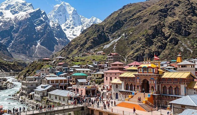
Yamuna River

Yamunotri Origin • Tons Confluence (Dakpathar)

Originating from the Champasar Glacier at Yamunotri in Uttarkashi, cascading through Rawain, Purola, and the fertile Doon Valley.

Explore Full Guide
Alaknanda River Master Himalayan Artery

Alaknanda River

Satopanth Origin (190 km) • Feeds All 5 Prayags

Emerging from the Satopanth and Bhagirathi Kharak glaciers near Mana, Alaknanda forms all five sacred confluences (Panch Prayag).

Explore Full Guide
Bhagirathi River Mythological Mother Stream

Bhagirathi River

Gaumukh Origin (205 km) • Tehri Reservoir

Bursting from the icy maw of Gaumukh in Gangotri Glacier, carving sheer granite gorges before being impounded by Tehri Dam.

Explore Full Guide
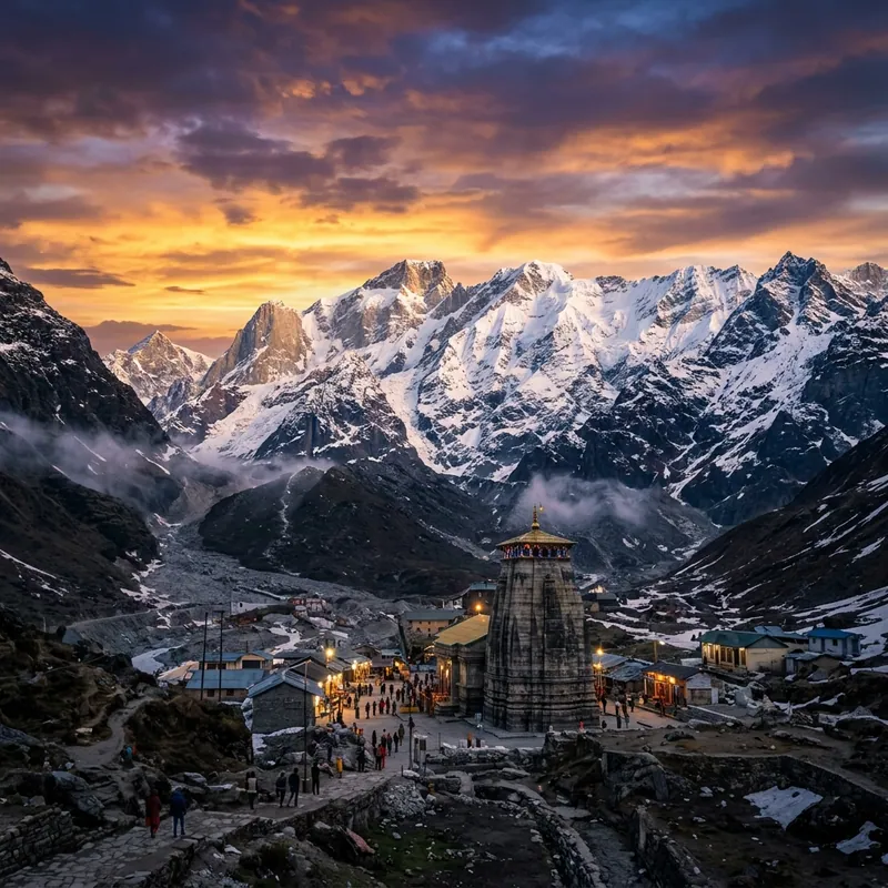
Mandakini River Sacred Torrent of Kedarnath

Mandakini River

Chorabari Origin (72 km) • Rudraprayag Sangam

Born from Chorabari Glacier directly behind Kedarnath Temple, rushing through Madhyamaheshwar Valley to meet Alaknanda at Rudraprayag.

Explore Full Guide
Pindar River Glacial Lifeline of Kumaon & Garhwal

Pindar River

Pindari Glacier Origin (105 km) • Karnaprayag

Originating at Pindari Glacier in Bageshwar, cutting through dense rhododendron valleys before joining Alaknanda at Karnaprayag.

Explore Full Guide
Kali / Sharda River Eastern Himalayan Frontier

Kali / Sharda River

Kalapani Origin (252 km) • Indo-Nepal Border

Originating at Kalapani in the Greater Himalayas, demarking the international boundary between India and Nepal before entering the Tarai at Tanakpur.

Explore Full Guide
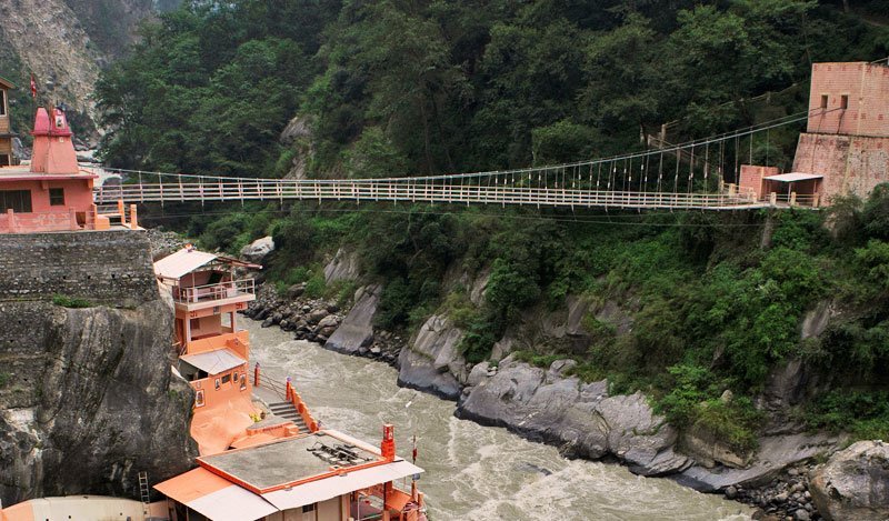
Panch Prayag The Five Holy River Sangams

Panch Prayag

5 River Confluences • Ganga Birthplace

The five sacred ascending confluences: Vishnuprayag, Nandaprayag, Karnaprayag, Rudraprayag, and Devprayag along the Alaknanda corridor.

Explore Full Guide
Natural and Glacial Lakes Emerald Waters & High Tarns

Natural and Glacial Lakes

Nainital Lake Belt • High Glacial Tarns

From the tectonic lake district of Kumaon (Naini Lake, Bhimtal, Sattal, Naukuchiatal) to high-altitude tarns like Dodital and Vasuki Tal.

Explore Full Guide
Sacred Lakes Puranic Tirthas & Mystery Waters

Sacred Lakes

Roopkund (5,029m) • Satopanth Triangular Lake

High-altitude mystical tarns endowed with divine lore: Hemkund (4,329m), Roopkund (Skeleton Lake), Satopanth (Triangular Lake), and Deoria Tal.

Explore Full Guide
Waterfalls of Uttarakhand Majestic Mountain Cascades

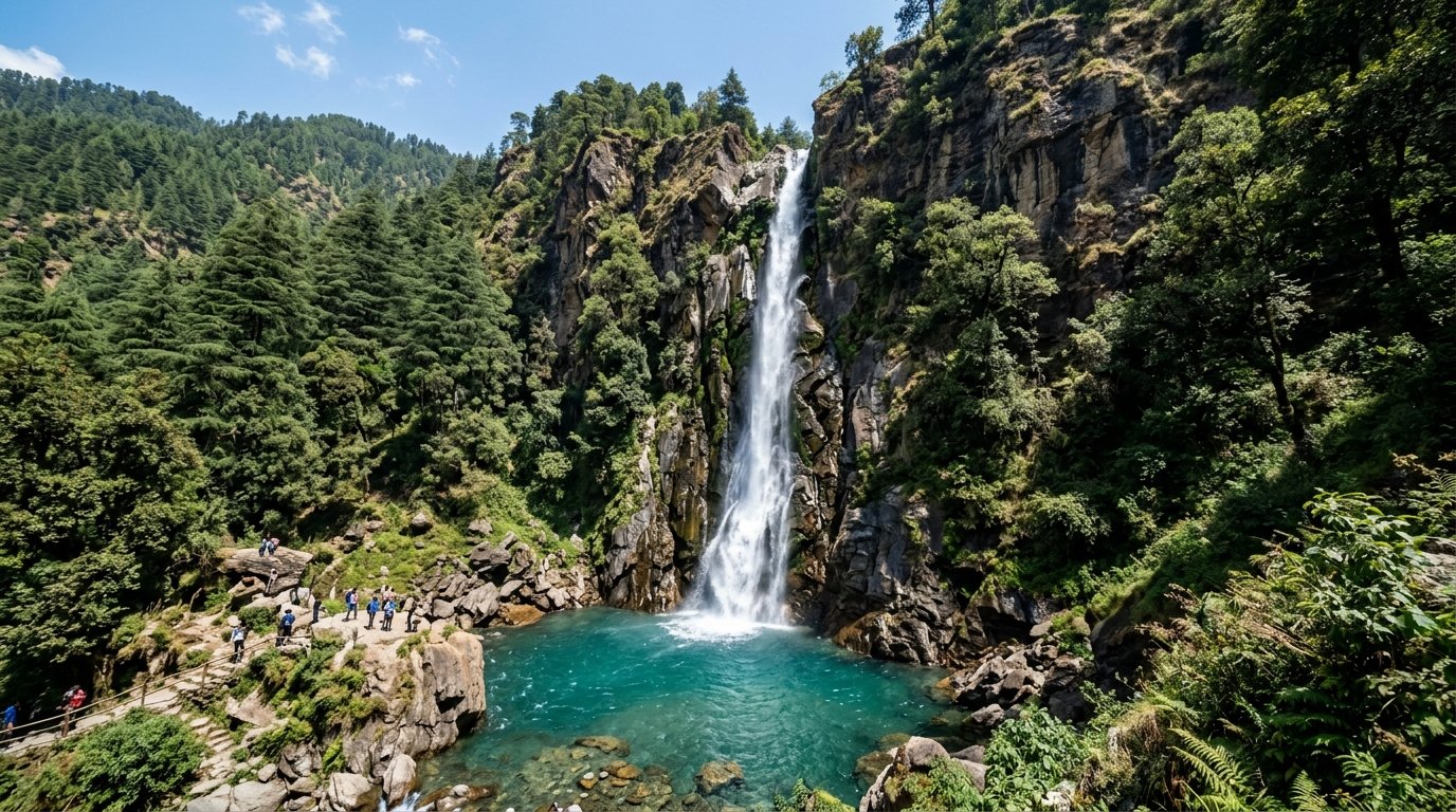
Waterfalls of Uttarakhand

Tiger Falls (312ft) • Vasudhara (400ft)

Spectacular cascades plunging from limestone precipices: Tiger Falls (Chakrata), Kempty Falls, Birthi Falls (Munsiyari), and Vasudhara Falls.

Explore Full Guide
Dams and Reservoirs Hydroelectric Marvels

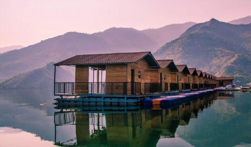
Dams and Reservoirs

Tehri Dam (260.5m) • 2,400 MW Hydropower

Massive engineering achievements including Tehri Dam (Asia's tallest rock-fill dam at 260.5m), Koteshwar Dam, Ichari Dam, and Ramganga Dam.

Explore Full Guide
Wetlands and Aquatic Ecosystems Ramsar Sanctuaries & River Corridors

Wetlands and Aquatic Ecosystems

Asan Ramsar Site • Endangered Mahseer & Otters

Crucial bird conservation reserves and aquatic zones: Asan Conservation Reserve (Uttarakhand's 1st Ramsar site), Jhilmil Jheel, and Mahseer corridors.

Explore Full Guide

Himalayan River Basins & Water Systems Matrix

Key hydrological specifications, glacial origins, lengths, and geographical significance across Uttarakhand.

River / Water Body Glacial Origin / Source Length / Area District / Region Confluence / Exit Hydrological & Cultural Note
Ganga River Devprayag (Bhagirathi + Alaknanda) ~250 km in Uttarakhand Tehri, Pauri, Dehradun, Haridwar Haridwar to UP plains Holiest river in India; Har Ki Pauri Ganga Aarti
Alaknanda River Satopanth & Bhagirathi Kharak 190 km Chamoli, Rudraprayag, Tehri Devprayag (meets Bhagirathi) Greatest discharge volume; Powers all 5 Prayags
Bhagirathi River Gaumukh (Gangotri Glacier) 205 km Uttarkashi, Tehri Devprayag Mythological source stream; Impounded by Tehri Dam
Yamuna River Champasar Glacier (Bandarpoonch) ~130 km in Uttarakhand Uttarkashi, Dehradun Dakpathar into Haryana/HP Daughter of the Sun; Tons River confluence
Mandakini River Chorabari Glacier (Kedarnath) 72 km Rudraprayag Rudraprayag (meets Alaknanda) Sacred river of Kedarnath; Steep torrential gradient
Kali / Sharda River Kalapani Springs (Lipulekh) 252 km Pithoragarh, Champawat Tanakpur into UP plains Natural international border between India and Nepal
Tehri Dam Reservoir Bhagirathi & Bhilangna Confluence 42 sq km surface area Tehri Garhwal Koteshwar Dam balancing lake Tallest dam in India (260.5m); 2,400 MW hydropower
Naini Lake Tectonic Freshwater Depression 48 hectares / 28m deep Nainital, Kumaon Ballia Ravine drain Eye of Goddess Sati; World-famous boating promenade
Tiger Falls High Mountain Springs, Chakrata 312 ft direct plunge Dehradun / Jaunsar Bawar Yamuna tributary canyon One of the highest direct-drop waterfalls in India