Summer
April – June
8°C – 18°C
Lush green alpine bugyals dotted with wildflowers and pink-red rhododendron blossoms. Days are sunny and pleasant with crisp mountain breezes.
Untouched High-Altitude Alpine Meadow · 3,600m Panorama of Bandarpoonch
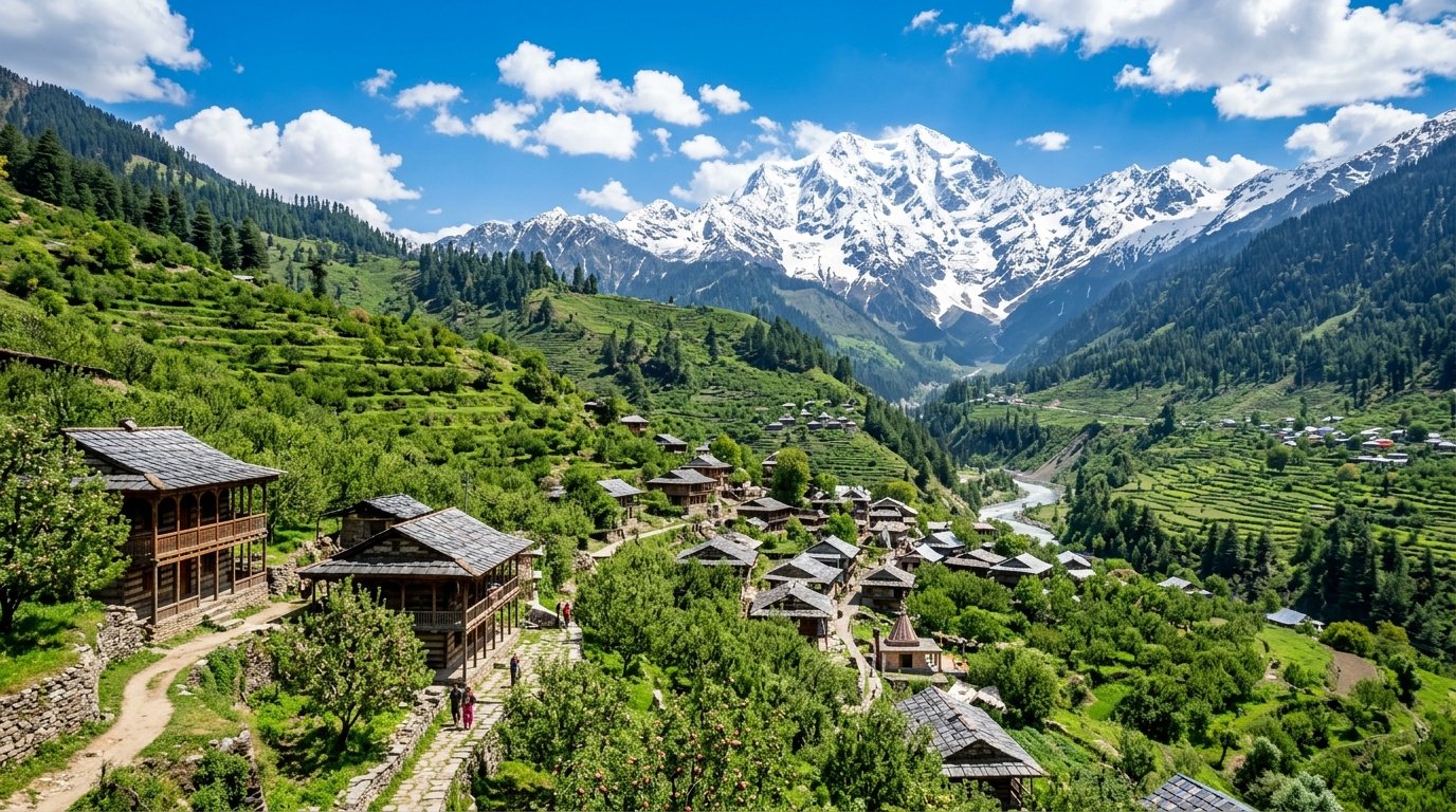
Rising to a majestic summit altitude of 3,600 metres (11,811 feet) in the pristine backcountry of Uttarkashi district, Mukta Top is one of Uttarakhand's best-kept secrets for alpine trekking. Offering a quieter, crowd-free alternative to heavily frequented winter treks like Kedarkantha, Mukta Top provides an untouched mountain wilderness experience of rare beauty.
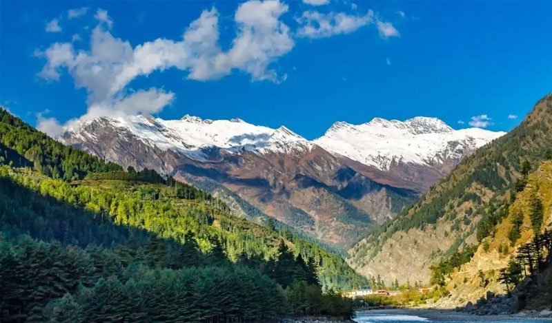
The trek begins from the picturesque roadhead hamlet of Kuflon near the Assi Ganga river, winding upward through dense virgin forests of oak, pine, walnut, and wild maple. In autumn, the forest floor is painted in golden amber and russet red, while winter transforms the entire trail into an immaculate fairy-tale blanket of pure white snow.
One of the crowning glories of Mukta Top is its extraordinary variety of campsites. Staging camps like Chaithat and Mukta Base are situated in clearing glades framed by ancient moss-hung oak trees, with bubbling freshwater brooks running past tent doorways and sweeping views opening toward the lower valleys.
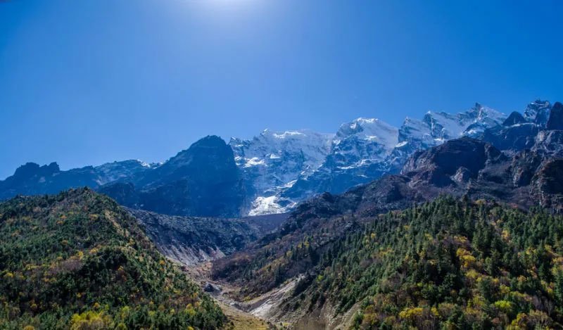
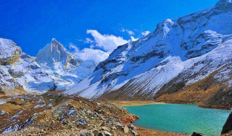
Reaching the wind-swept summit ridge of Mukta Top rewards hikers with an awe-inspiring 360-degree Himalayan amphitheater. To the north and east loom the glaciated ramparts of the Gangotri range, Mt. Jaonli, Draupadi Ka Danda, and the massive twin summits of Bandarpoonch (6,316m) and Kalanag (Black Peak).
In springtime (April to May), the lower forest canopy erupts in a breathtaking floral display as wild rhododendrons bloom in vibrant shades of scarlet, ruby, and delicate pink. Birds like the scarlet minivet, Himalayan woodpecker, and laughingthrush fill the canopy with lively mountain melodies.
Mukta Top is an ideal high-altitude trek for beginners, families, and seasoned adventurers alike. With gradual ascents, pristine wilderness camps, and monumental summit vistas, it offers the quintessential Himalayan trekking adventure far away from tourist trails.
Lush green alpine bugyals dotted with wildflowers and pink-red rhododendron blossoms. Days are sunny and pleasant with crisp mountain breezes.
Trekking is generally avoided due to leech activity, slippery forest trails, and cloud cover concealing the mountain views.
The prime winter snow season! Trails and meadows are blanketed in deep powdery snow, making it one of the finest snow treks in North India.
 Alpine Ridge Summit
01
 High-Altitude Bugyal · 2,900m
02
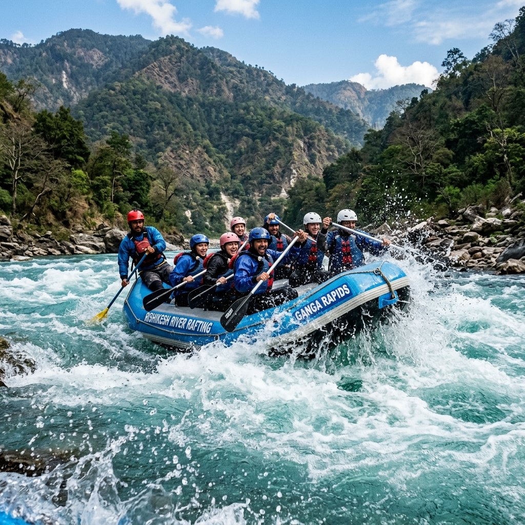 Sacred Forest Tarn · 3,250m
03
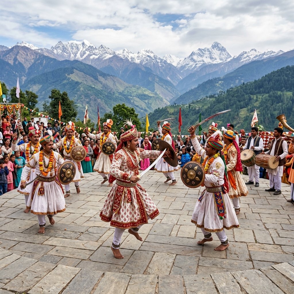 Traditional Village · 1,400m
04
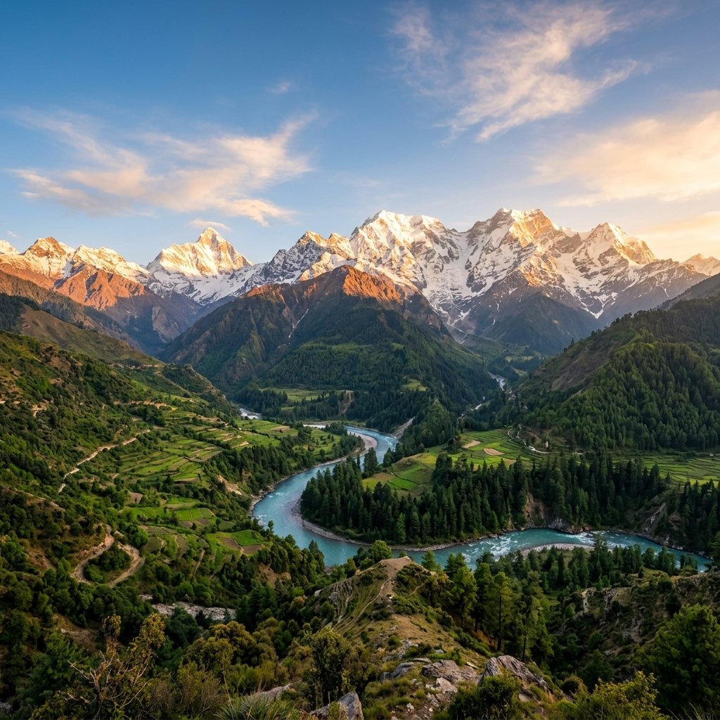 Oak & Maple Meadow
05
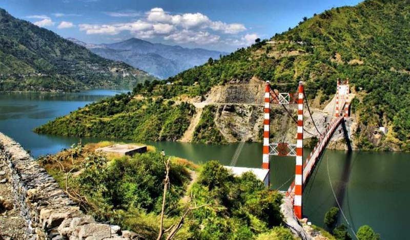 Trout River Stream
06
Trek through pristine, untracked knee-deep snowfields with gaiters and microspikes to reach the 3,600m summit.
Identify and photograph iconic summits: Bandarpoonch, Kalanag, Jaonli, and Draupadi Ka Danda.
Camp under billions of glittering stars in complete tranquility at Chaithathar and Mukta Tal.
Spot monal pheasants, koklass, white-throated laughingthrushes, and barbets in the undisturbed woods.
 Spiritual
 Hills
 Spiritual
 Nature
 Adventure
 Nature
 Spiritual
 Hills
Hills
 Lakes
 Hills
 Spiritual
Carry Microspikes & Gaiters in Winter: Between December and March, snow depth can reach 2 to 3 feet near the summit; waterproof gaiters keep snow out of your boots.
Hire a Local Guide from Kuflon: The trail through the dense oak forest is unmarked in winter; hire an experienced village guide from Kuflon for safety.
Prepare for Sub-Zero Campsites: Night temperatures at Chaithathar drop to -5°C to -8°C in winter; carry a zero-degree sleeping bag and down jacket.
Carry Insulated Water Bottles: In freezing winter conditions, water in standard plastic bottles freezes solid; carry an insulated thermos flask.
Keep the Pristine Trails Clean: Mukta Top is one of the cleanest trails in the Himalayas; carry all food wrappers and waste back to Uttarkashi.
Keep Electronics Warm: Cold temperatures drain camera and phone batteries quickly; store them inside your sleeping bag or inner jacket pockets.
Everything you need to know about the Mukta Top trek: difficulty, winter snow, route, and comparison to Kedarkantha.
Mukta Top is a pure, unblemished Himalayan sanctuary where the silence of ancient oak woods gives way to the blinding white glory of untracked snowfields. Gazing upon the majestic twin horns of Bandarpoonch as twilight bathes the summit in rose gold, one rediscovers the authentic, unhurried romance of Himalayan trekking.
Start Planning Your Trip →Explore More: Assi Ganga Alpine Wilderness