Summer
March – June
10°C – 24°C
Sunny, pleasant days with blooming red and pink rhododendrons across the mountainsides. The prime season for the Khaliya Top trek and nature exploration.
Little Kashmir of Uttarakhand · Front-Row Vistas of the Panchachuli Peaks
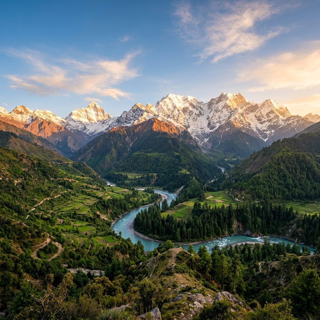
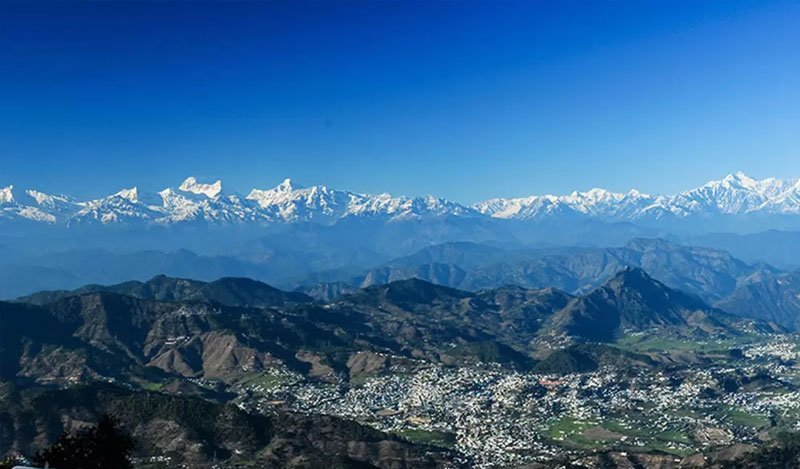
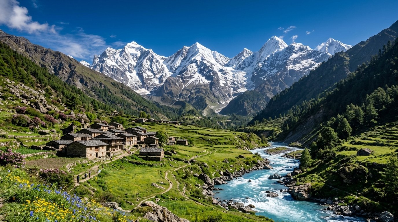
Lovingly celebrated as the "Little Kashmir" of Uttarakhand, Munsiyari sits at an elevation of 2,200 metres (7,218 feet) in the rugged border district of Pithoragarh along the roaring Goriganga river. Facing directly into the soaring ice amphitheater of the Panchachuli peaks (6,904m), this historic town was once the bustling trade gateway on the ancient trans-Himalayan salt route to Tibet.
The breathtaking hallmark of Munsiyari is the up-close, colossal view of the five Panchachuli summits ("Five Chariots of Fire"), where according to Mahabharata lore, the five Pandava brothers cooked their last meal before ascending to heaven. At sunrise, the massive snow walls ignite in blazing amber and rose hues, offering one of the most sublime mountain spectacles in the world.
A short drive south leads to Birthi Falls, a spectacular 126-metre cascade tumbling down sheer granite cliffs framed by dense oak and rhododendron forests. For alpine hikers, the rewarding trek to Khaliya Top (3,500m) ascends through alpine meadows to a panoramic ridge commanding 360-degree views of Hardeol, Trishul, and the peaks of western Nepal.
Hidden inside deep oak and moss-hung birch woods lies Thamri Kund, a pristine natural lake revered by locals as a rain-bringing sacred pool, where musk deer and Himalayan monals are frequently spotted drinking along quiet forest margins.
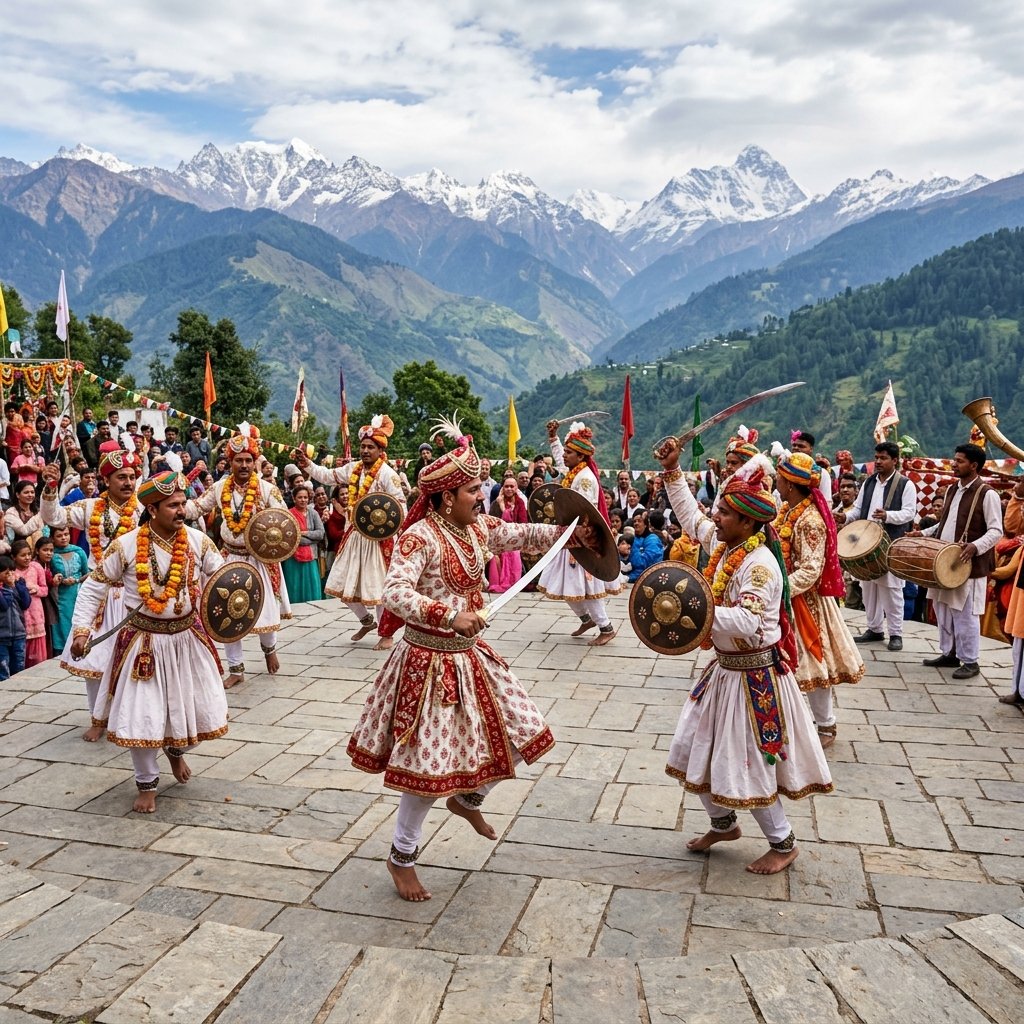
Munsiyari is the ancestral home of the indigenous Shauka (Bhotia) community. At the Tribal Heritage Museum, founded by local historian Dr. S.S. Pangti, visitors can explore traditional wooden artifacts, ancient trade scales, brass utensils, and antique documents detailing historic trans-Himalayan expeditions across high passes.
The local village cooperatives produce some of the finest Pashmina shawls, Angora sweaters, and hand-knotted sheep-wool rugs in India, using traditional herbal vegetable dyes. Munsiyari is an extraordinary destination where high-altitude wilderness, timeless tribal hospitality, and glacial grandeur merge seamlessly.
Sunny, pleasant days with blooming red and pink rhododendrons across the mountainsides. The prime season for the Khaliya Top trek and nature exploration.
Heavy monsoon rains drench the valley. Birthi Falls roars at peak volume, but mountain roads from Thal and Tejam can experience landslides.
Munsiyari turns into a dream winter wonderland with regular snowfall. Panchachuli peaks glitter white against sharp blue winter skies.
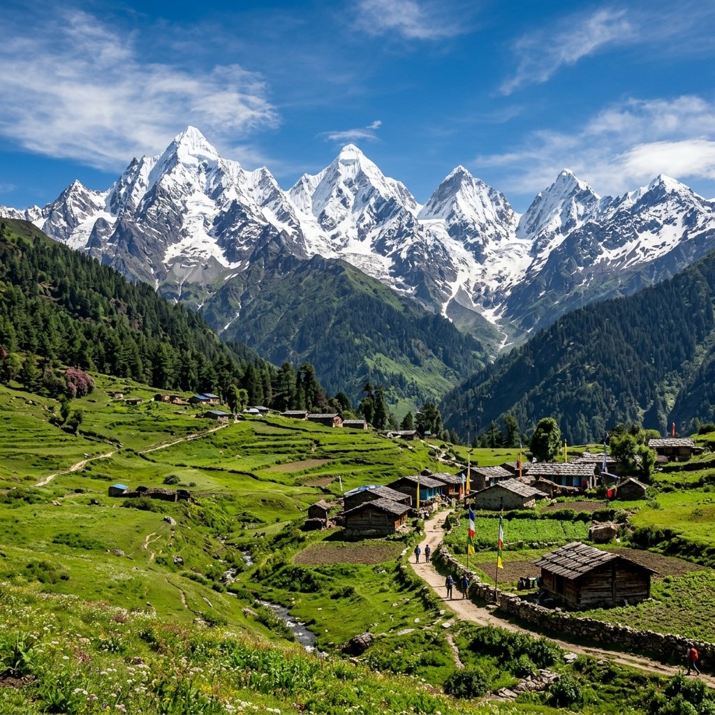 Iconic Mountain Vista
01
 Alpine Bugyal Trek · 3,500m
02
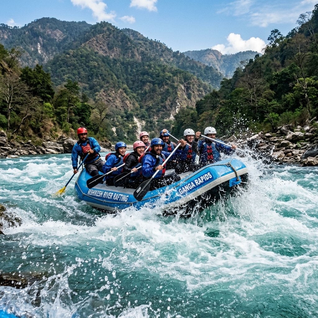 126m Natural Cascade · 35 km
03
 Sacred Hilltop Shrine · 3 km
04
 Bhotia Culture & History
05
 Hidden Forest Tarn · 9 km
06
Stand on the ridge at dawn to watch the first rays of sunlight turn the five peaks of Panchachuli into molten gold.
Hike 6 km through rhododendron and oak forests to the expansive alpine pastures of Khaliya Top at 3,500m.
Enjoy deep snow games, building snowmen, and beginner ski slopes in and around Khaliya Top in January.
Visit the Tribal Heritage Museum and chat with elderly Shauka traders who crossed the Unta Dhura pass into Tibet.
 Hills
 Hills
 Adventure
 Adventure
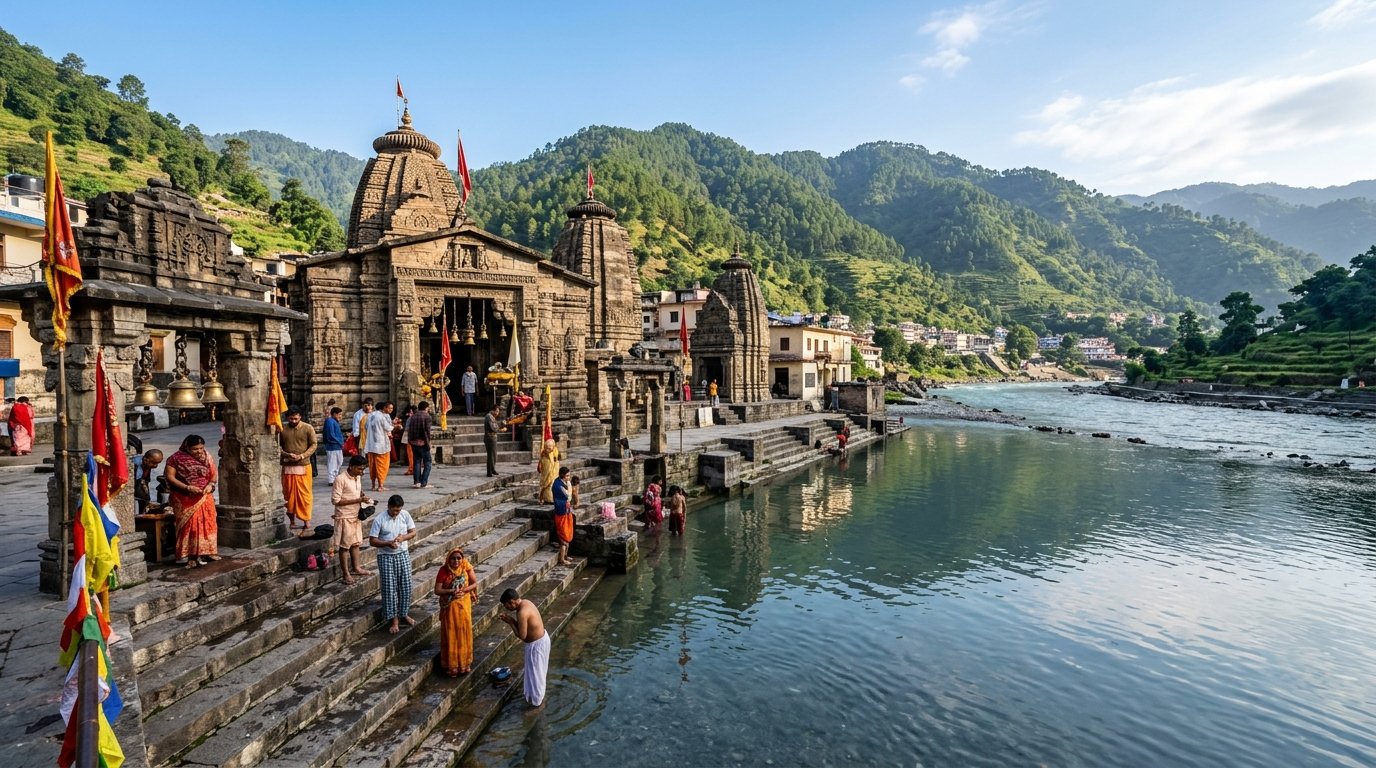 Spiritual
 Hills
 Hills
 Spiritual
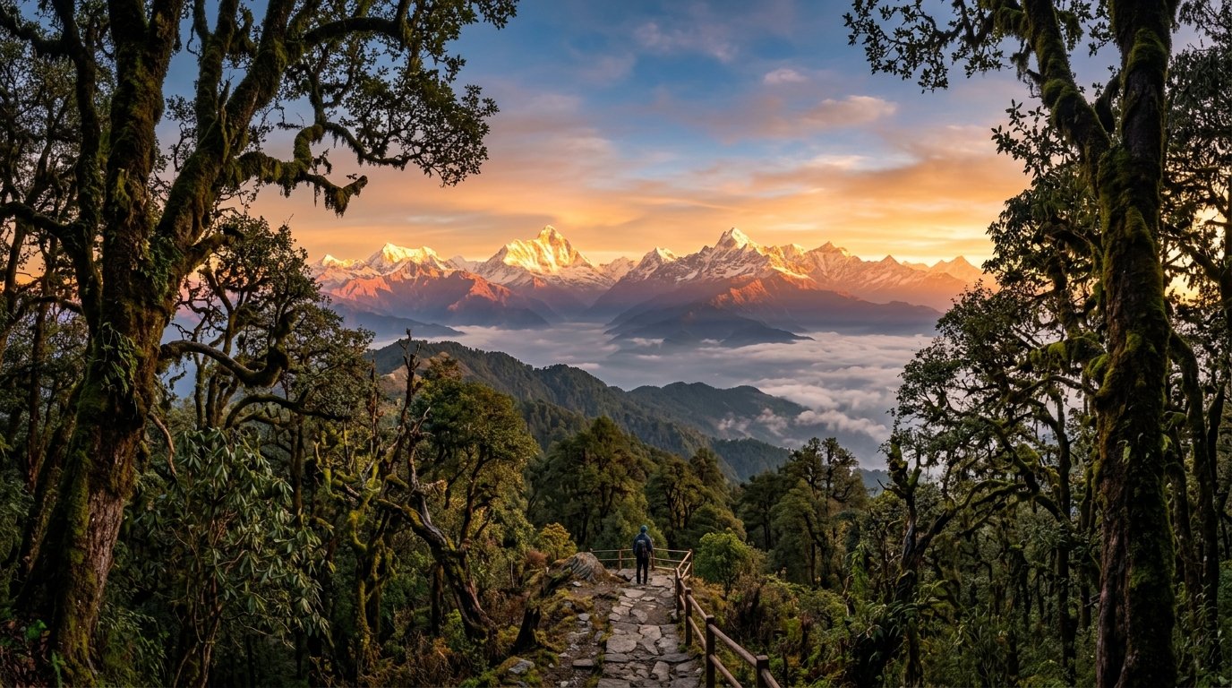 Nature
 Hills
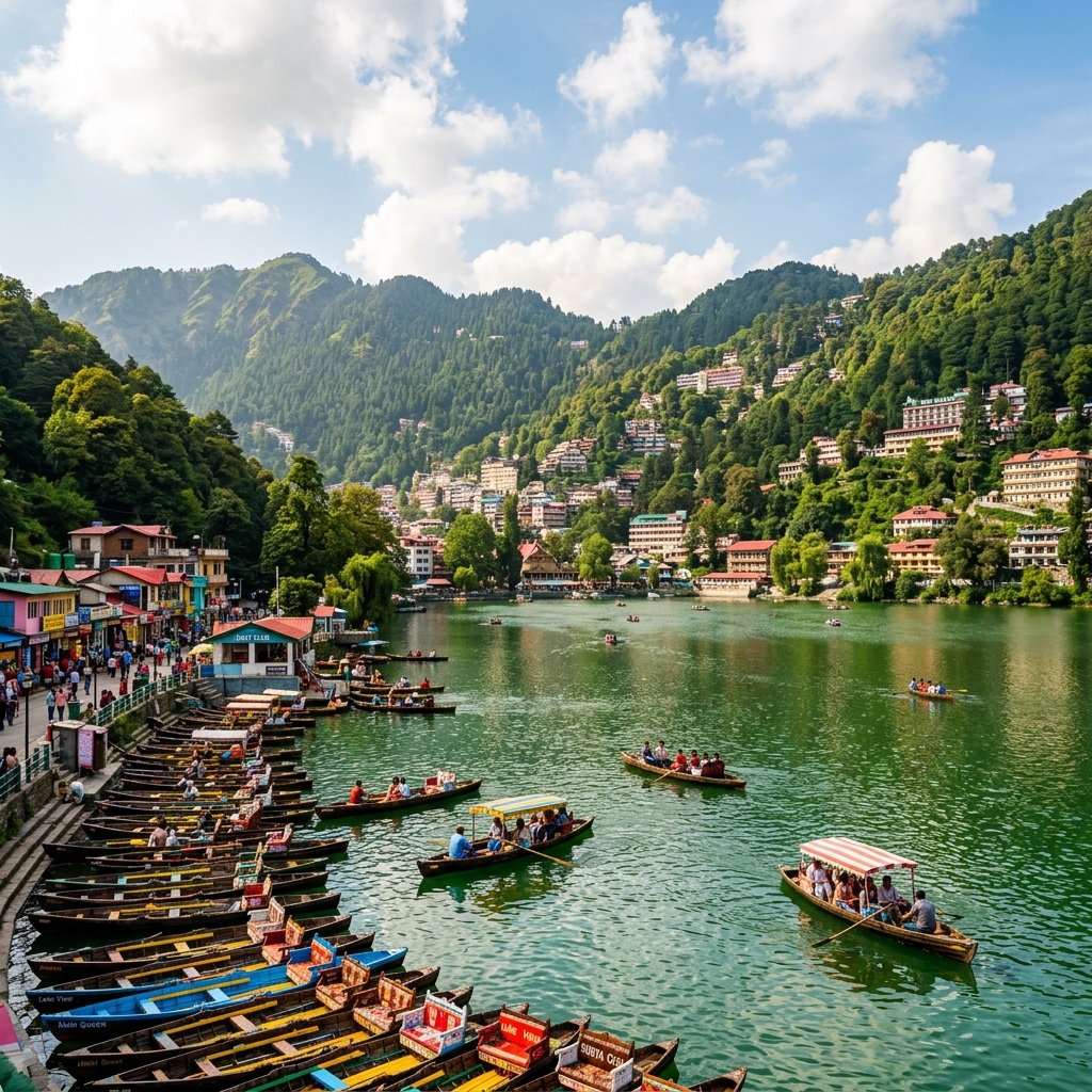 Lakes
Nature
Break the Journey Overnight: Driving from Kathgodam/Delhi to Munsiyari takes 10-12 hours; halt overnight at Chaukori, Bageshwar, or Almora to travel comfortably.
Wake Up for the Panchachuli Sunrise: The golden alpenglow on the Panchachuli peaks lasts only 15 minutes at dawn; set your alarm for 5:30 AM.
Pack Heavy Woolens Year-Round: At 2,200m, evenings and early mornings are chilly even in June; winter requires thermal wear, down jackets, and beanies.
Buy Handwoven Dan Carpets & Pashmina: Munsiyari’s Shauka women weave world-famous sheep and Angora wool carpets, thulma blankets, and authentic pashmina.
Trek to Khaliya Top for 360° Views: Take a day to hike up to Khaliya Top (6 km from Balati Bend) for an unforgettable panoramic amphitheater of Himalayan summits.
Refuel at Thal or Didihat: Munsiyari has limited fuel pumps; ensure your vehicle is refueled at Thal before ascending the Kalamuni Pass.
Everything you need to know about Munsiyari: Panchachuli peaks, distance, road conditions, Khaliya Top, and snowfall.
Munsiyari is a Himalayan masterpiece where the earth reaches directly into the heavens and the five fiery crowns of Panchachuli stand as eternal witnesses to the dawn of time. Watching the day's first light transform these colossal granite and ice spires into shimmering gold while sipping hot mountain tea on a quiet terrace, one realizes why this enchanted frontier is truly the crown jewel of Kumaon.
Start Planning Your Trip →Explore More: High Kumaon & Panchachuli Peaks